Lohja

This time I tried my luck west of Espoo. It’s not so populated as the north of Helsinki, but I couldn’t find any lonely forest. Most of the trip went on main dirt and asphalt roads, with homes and farms here and there. Not the best area, but not bad either. There were a couple of extreme spots that almost made me fall of the bike.

I finally found a reliable tracking app, Geo Tracker. I first took the 51 motorway west, which I left to take road 1130 north-west, Österbyntie south-west, and Volsintie and Solvikintie north to reach the 1130 again. I think I shouldn’t have left the motorway so early, only Österbyntie was a nice curly road.

Österbyntie (Kirkkonummi)

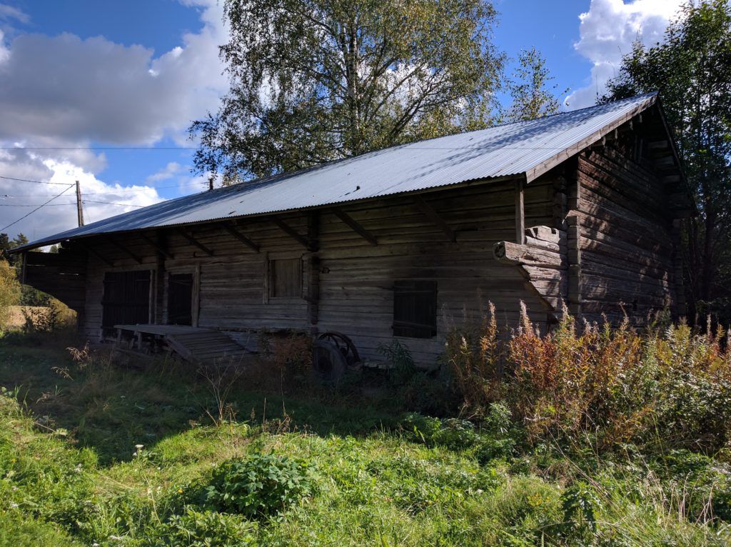
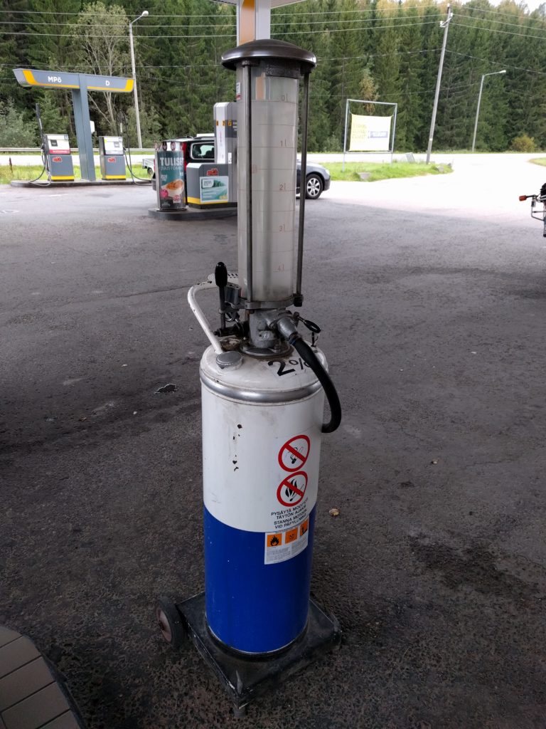
I filled the tank at a gas station that had an old pump on display.

Pump in gas station by road 1130 in Espoo.

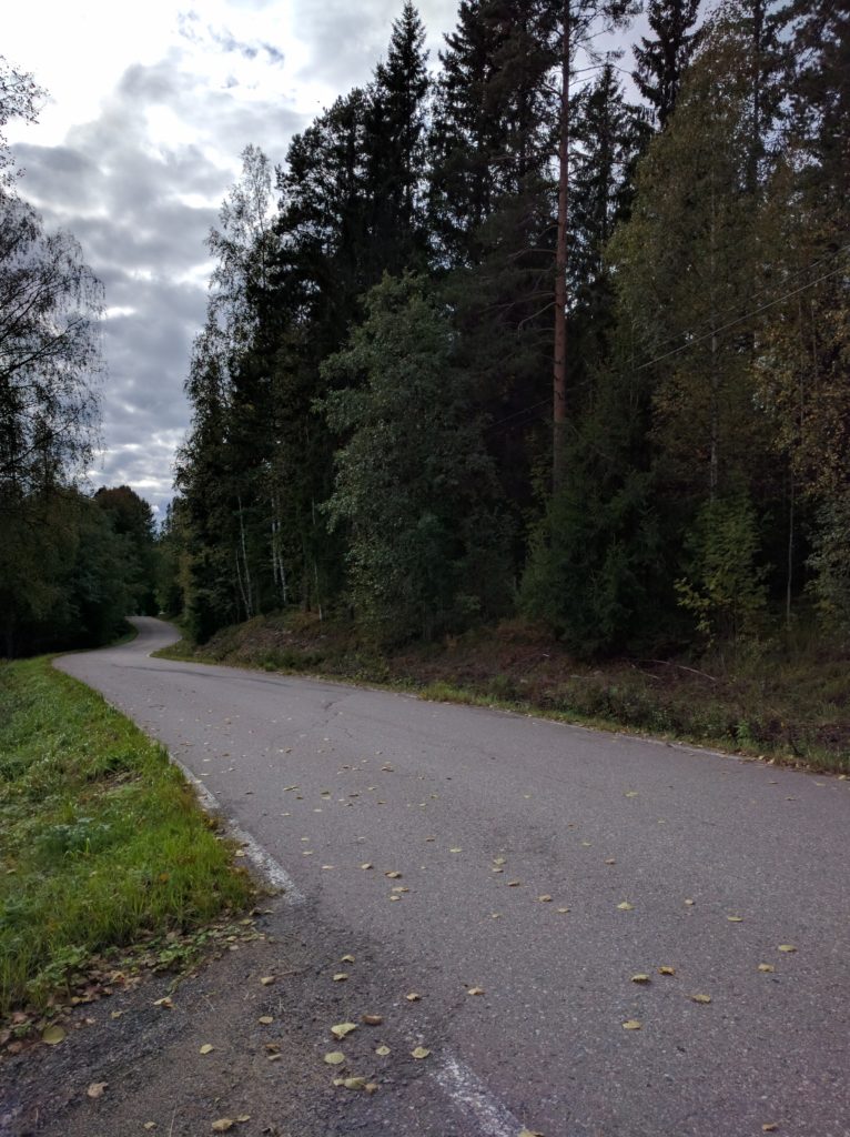
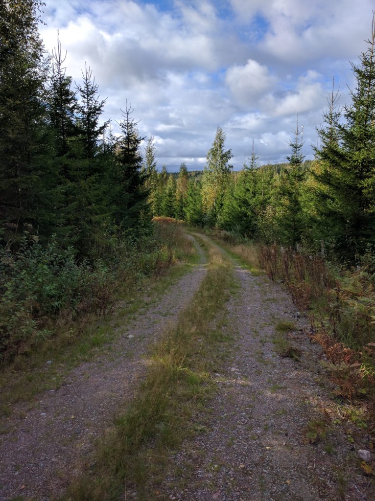
A bit of the 1130 west and I left the asphalt for the first time by taking Solvikinkaari and Björkebergantie. Not a long stage but the gravel and stones at the middle made it interesting.

Björkebergantie (Kirkkonummi)

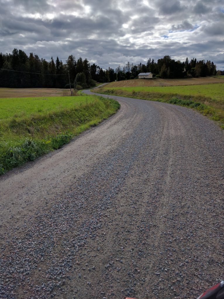
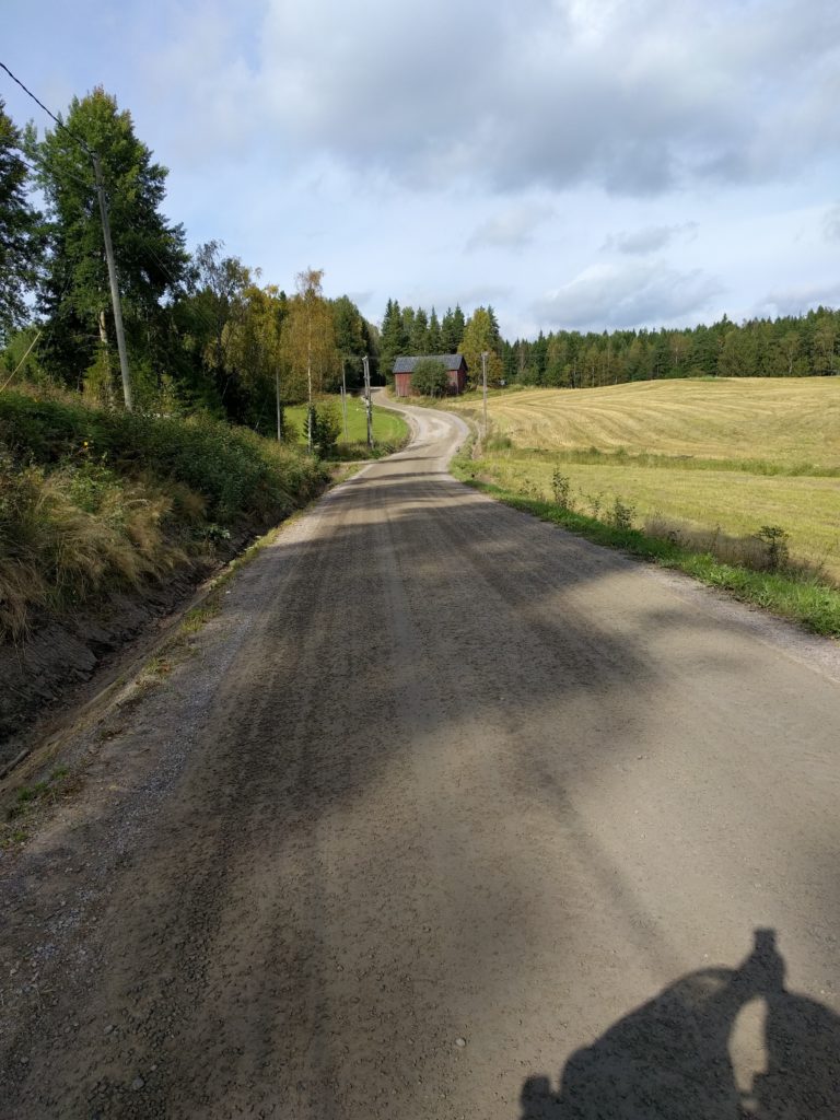
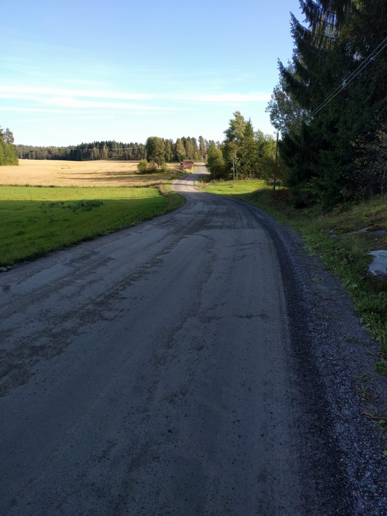
I kept off the asphalt by taking Karhusuontie and Harvsintie north-west, and then north along Annilantie, Niemenkyläntie, Kopulantie, Eteläinen Brännträskintie, and back to Kopulantie until its north end. Most of it were main dirt roads between fields and forests, passing scattered houses. Fun for driving at a good pace, always with caution and respect to others.

Annilantie (Siuntio)

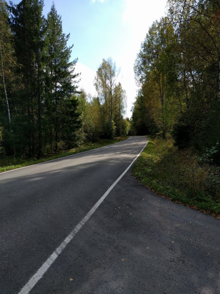
Back on asphalt, I decided to move to another area. I took Kahvimaantie north to reach road 110, which I took north-west and I left to take Lehmijärventie south. A pretty boring parenthesis except for Lehimjarventie, which has some curves and is surrounded by a nice view of trees.

Lehmijärventie (Lohja)

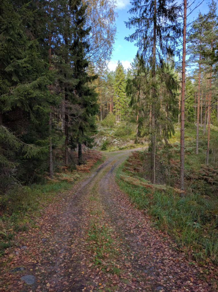
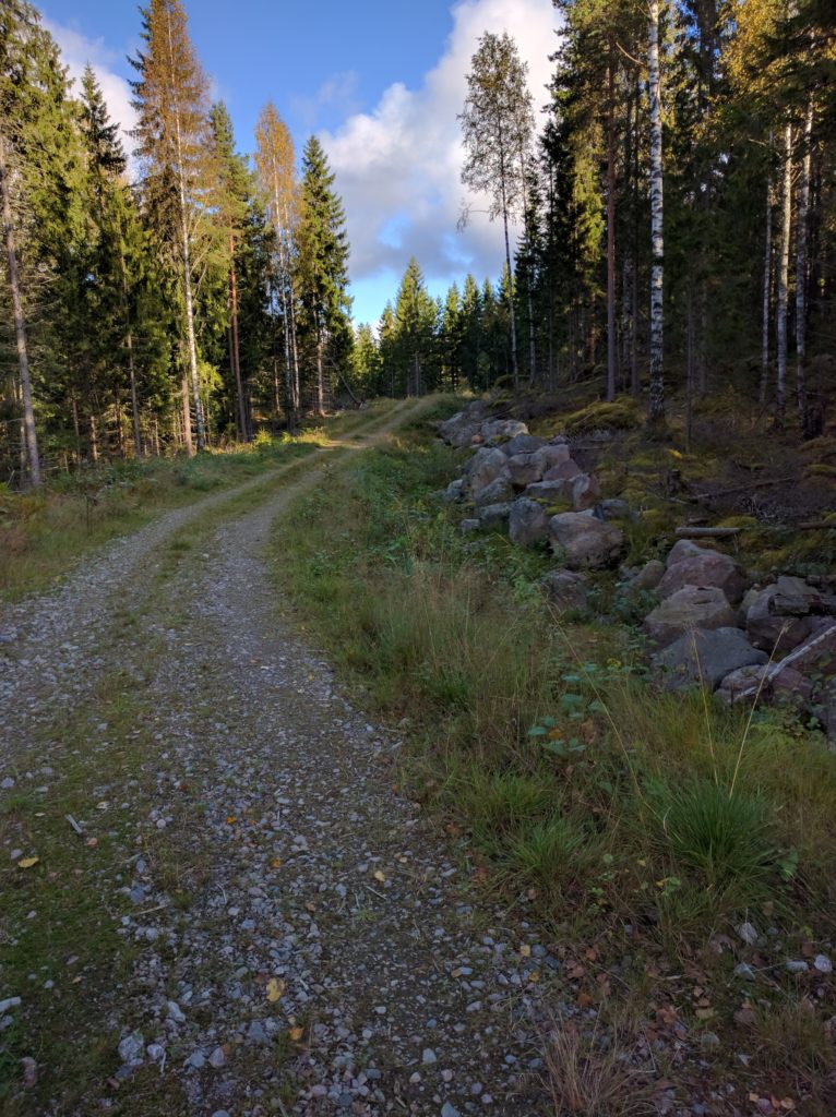
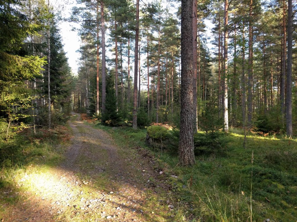
Near Lehmijärvi, I took a path north-west to Vaanilantie, which I did south followed by Luomantie and Laakspohjan kartano. This was the best part of the day, dirt roads and paths with the mentioned spots that almost made fall.

The first of the spots is here. Right before reaching Vaanilantie, the path is not mantained for vehicles and it went down a slope with some slippery mud.

Track connecting to the north end of Vaanilantie (Lohja)
Path connecting to the north end of Vaanilantie (Lohja)

The second difficult spot is Laakspohjan kartano, because it is covered with sand. Another slope made my bike shake both sides, but there was also a beatiful part surrounded by trees.

Laakspohjan kartano (Lohja)

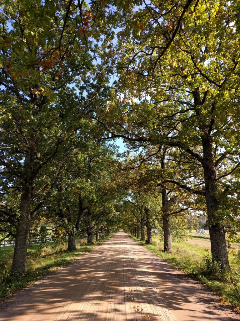
This road has sand and shadow trees because it is used by the horses of a big farm next for it, and for that reason I won’t go there by motorbike again and I encourage you not to do it.

At that point I was near the center of Lohja, so I thought it was better to leave that populated area by taking road 25 south and then check Lohjansaarentie. The later is a curly, but it’s a busy road that goes through residential areas.

Not worthy for me, so I turned around and took road 112 to reach Vähäteurtarintie, which I did all the way south-east followed by Vassbölentie and the beginning of Paivöläntie. Again, main dirt roads with little traffic, fun for a good pace.

Vähäteurtarintie (Lohja)

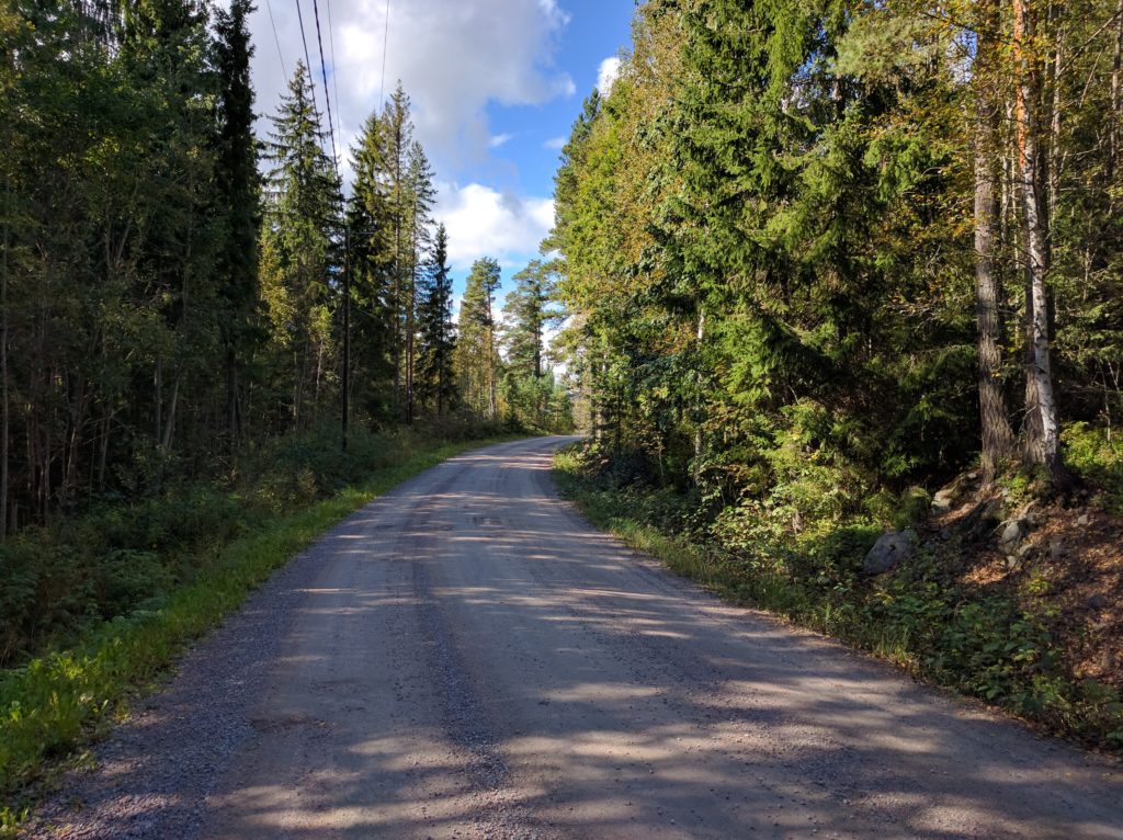
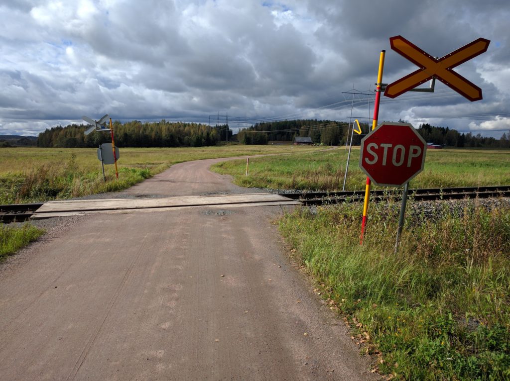
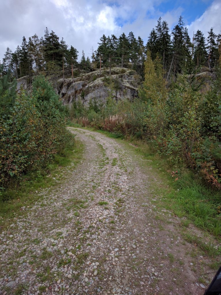
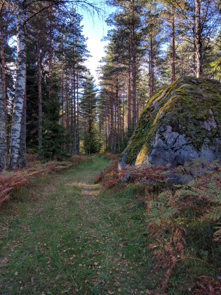
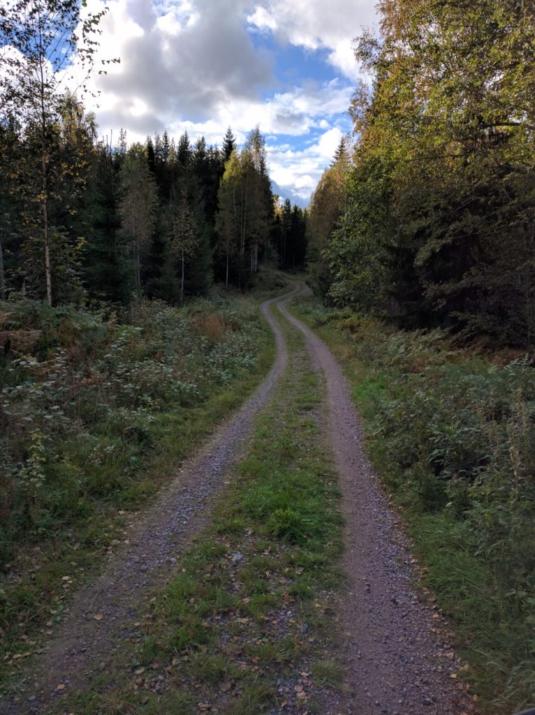
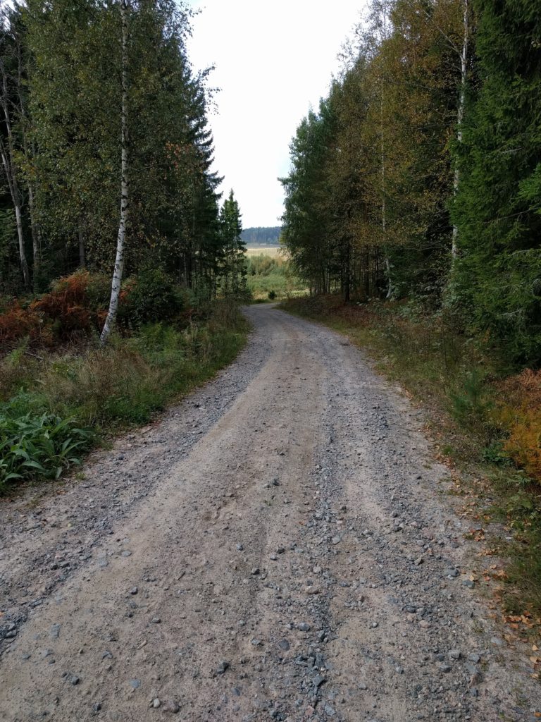
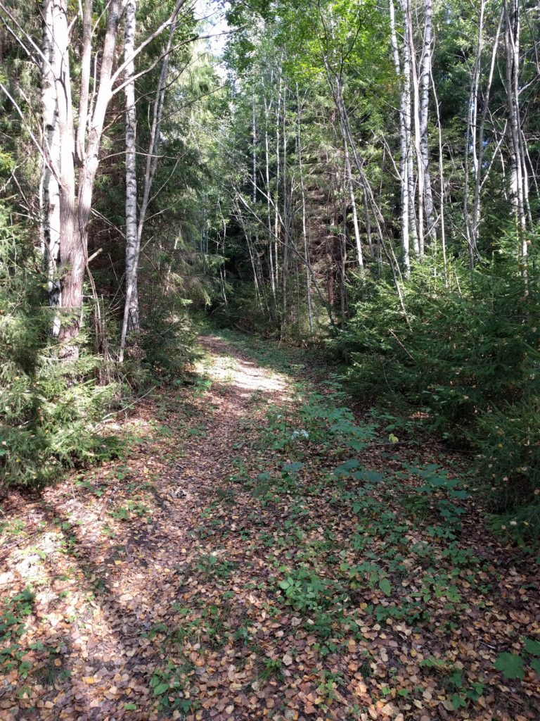
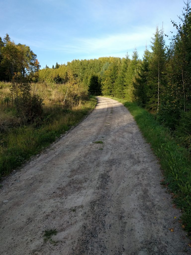
I changed my heading to north-east, along Päivöläntie, Knapantie and Siggansintie, same type of dirt roads. Right after crossing under the rail tracks I found a more challenging, but short, dead-end forest path. I took the picture below here.

Path near the rail bridge of Siggansintie (Siuntio)

I continued north along Grennäsintie, a bit of road 1130 west, and Gårdskulla. Same dirt roads, with a slightly rougher part in the middle of Gårdskulla.

Gårdskulla (Siuintio)

At that point I was mostly heading to highway E18 to go back home, so I took a bit of road 116 south-east and Niemenkyläntie north. The only interesting thing about these asphalt roads were the views of fields and forests.

The last dirt road of the day was Lieviöntie, same as others of the day but with more traffic as I was getting closer to populated areas.

Lieviöntie (Lohja)
Lieviöntie (Lohja)

Finally I took Muijalantie and the road 1125 to reach highway E18 and end the day.

Ylimmäinen

Forget Sipoo, there are far better areas for off-road motorcycling around Ylimmäinen lake. Bigger, with more tracks, all types of surfaces, quite lonley, and on top of everything, with awesome sights. Have a look at the pictures below.

I first took the E12/1301 which I left it to take the 132 to Klaukkala, and there Lepsämäntie passing Jyrkänpelto to reach Palsintie. A highway and main roads to leave the city behind.

I finally left the asphalt taking Pasintie and Palsinkorventie west, Pirunkorventie south and north again, Laurintie west, and then Koskelantie, Leppäarontie and Kössintie north-east. A residential area of main dirt roads where I crossed pedestrians and horses. An area to avoid. Now that I check Google Earth, further south there is a forest area worth checking.

Palsinkorventie near Palsi (Nurmijärvi)

I went a bit of Selintie west to take Peltolantie and Helkuntie north. Same kind of dirt roads with many houses. There is a very old farm construction in this location.

Old wooden construction in Helkuntie (Nurmijärvi)

I took the 1322 west, which I soon left to take Seisakkeentie north-west and Konnuntie and Vihantolantie west. Dirt roads as before, but more lonely areas. I like rail crossings, I see something old and romantic in them, or maybe a reminder of my childhood toy trains.

Rail crossing in Seisakkeentie (Vihti)

I continued west through Haimoon Myllytie, Haimontie and Kirveläntie to Herrakunta. The first one is challenging due to the loose gravel, Haimontie is a bad asphalt road and Kirveläntie the usual dirt road.

Haimoon Myllytie (Vihti)

I changed direction north-east through Herrakunnantie and north-west through Moksintie to reach Kantolantie. Both asphalt roads, but Herrakunnantie is curly and hilly and I wasn’t the only biker enjoying it.

Herrakunnantie (Vihti)

I was getting bored and frustrated about my trip. The most interesting road was actually Herrakunnantie. But then, everything changed.

Roughly, I took Kantolantie north, then Lustikullantie north, Rintelänkuja east to Hiiskula, Haaviskoppelintie north, came back south to take another track west to cross Lempolamminoja and reach road 133. I say roughly because I found and explored a network of forest tracks which is not totally mapped by Google.

I found many kinds of surfaces and sights, like the stones and rocks of the picture below taken in this location.

Forest track in Kantola
Forest track in Kantola (Vihti)

There were moss and trees, like in the picture below taken in this location.

Forest track near Likolampi (Kantola)
Forest track near Likolampi (Vihti)

There were leafs and bushes, like the picture below taken in this location.

Forest track in Kantola
Forest track in Kantola (Vihti)

And they were all curly and hilly tracks with amazing views. I only crossed a few parked cars of people picking something from the forest.

Next, I took Rönnintie and Kaislarannantie north, detouring to some tracks at the east to get close to Ylimmälinen and Hiukkalammi lakes. Rönnintie and Kaislarannantie were main dirt roads, the ones at the east were a bit more challenging. But this area was not as good as what I just visited south of the 133.

Track south of Ylimmäinen lake
Track south of Ylimmäinen lake (Vihti)

I took a nice picture of Hiukkalammi lake.

Hiukkalammi lake
Hiukkalammi lake (Vihti)

I still continued further north. I took Karrintie, but before reaching Keihäsjärvi, I explored some tracks to the west that are not mapped by Google. The beginning of Karrintie ir a residential area, but further north and the west tracks are really nice and challenging.

Tracks south-west of Keihäsjärvi lake
Tracks south-west of Keihäsjärvi lake (Loppi)

A big rock is sitting in this location.

Rock south-west of Keihäsjärvi lake
Rock south-west of Keihäsjärvi lake (Loppi)

The area was so good as the one south of road 133, so I explored more of it. I went back east and took Leppäojantie and Mäntymäenpolku south. Then I turned around and went north through Raunintausta, Jokisuuntie and Niinimäentie until the 132 road. Again, curly forest tracks.

Raunintausta
Raunintausta (Loppi)

I passed a pond with some nice mökkis.

Mökki in Raunitausta
Mökki in Raunitausta (Loppi)

It had been a long day with plenty of fun and excitement, so as I reached road 132 I decided to take it and the E12 motorway back home.

To recap, the areas south-west of Niemenjärvi and around Keihäsjärvi are the best for off-road motorcycling I have found so far. I will visit them again.