Changing weather and dead-ends

This time I had a planned route. With the help of Google Maps satellite view, I spent some time searching and connecting gravel roads at the west of Helsinki. The excitement woke me up early and, with a good weather and forecast, I got on my bike.

I first took the 110 to Nupuri. I don’t know why I keep taking that road, it’s a succession of traffic lights, crossings, and zebra crossings. Next time I will use the 1 and E18.

The next stage was Brobackantie, Nuuksiontie, Kattilantie to Kattila. But it started raining and it got so bad that I had to take cover in a bus stop in Nuuksio.

Storm in Nuuksiontie (Espoo)

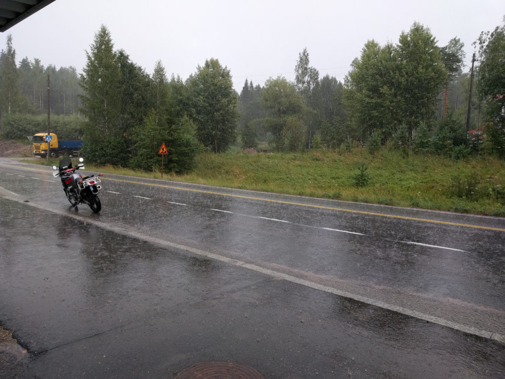
Without stopping, the rain eventually became thin. I was already soaked and cold in my summer gear, so I seriously considered going back home. But I made it that far so I decided to check the trails in Nuuksio National Park.

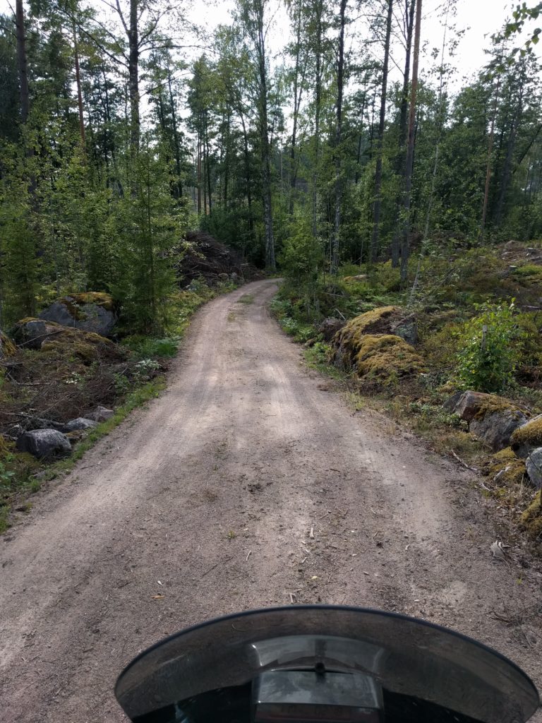
My next stage of the plan was to go west from Kattila to Kurjolampi. The road looked great and apparently a Google Street View vehicle did it. However, those trails are not open to traffic. Being a National Park, I imagined they are serious about it so I turned around. The only way out was back to the 110.

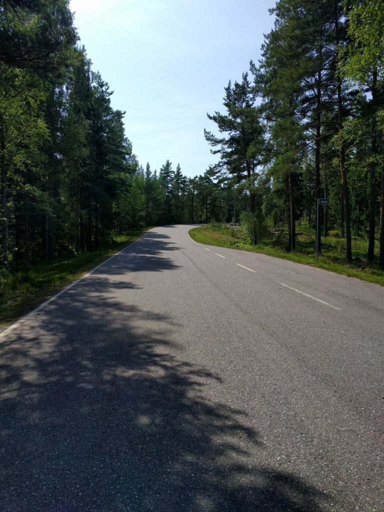
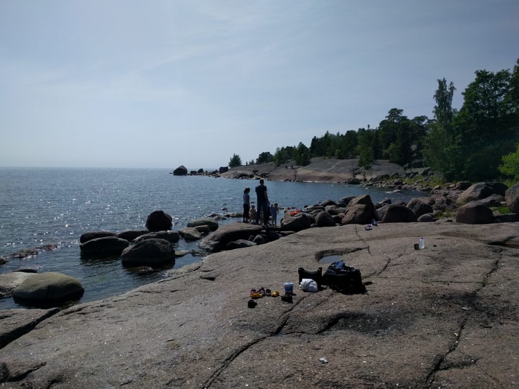
The road between Nupuri and Kattila has some curves but since the Park is a popular place there is traffic including buses. Only the end near Kattila has no ashpalt. I don’t recommend it unless you are actually going to hike in the Park, which I did once and I discovered a beautiful forest with easy trails and amazing landscapes.

Frustrated and with no sign of the weather improving, I went back to Helsinki through the 110 again, this time to avoid going fast on a wet motorway. As per Murphy’s law, when I reached Helsinki the sky opened and the sun shined. I decided to give the day a last chance checking Laajasalo and Santahamina. In the former you can only drive in the suburbs, and I had no idea the later is a military base. I had my documents checked for a while, just for approaching the gate.

So, the only positive outcome of the day is that I learned a few places where not to go and I fixed my plan, which I hope I can follow some other time. Also, it was a good test for my new Sidi Adventure Gore-Tex boots. I will tell you about my gear in some post.

But next, I will be riding in Estonia.

Porvoo

I did a day trip to Porvoo and its southern islands with my friend Jaytee. He drives a 2012 Kawasaki Versys with road tires, so most of the trip was on asphalt. I have a 1996 Honda Africa Twin, but I will tell you about “her” in another post.

The route went mostly between forests and some fields, with occasional sightings of the sea, swamps and rocks. Nice scenario but it eventually became repetitive.

From Helsinki we headed east through the 170, a busy main road with few curves. Things got interesting when we took the 1541, 1543 and Emäsalontie south to Varlaxudden. The view on the bridge to Emäsalo is really nice. Emäsalontie is good biker road with continuous curves and slopes. Just be careful with the cyclists and pedestrians you will likely cross.

Emäsalontie near Varlaxudden

Varlaxudden is a great place to take a bath, sunbathe on the rocks and grill some food. If only we were prepared…

Varlaxudden
Varlaxudden

We took the 1543 back north and to Porvoo. A really worth-visiting city with a river, many wooden houses and an old cathedral. It was a hot day and I was boiling in my motorbike pants and boots, but we found some relief eating by river in Wilhelm Å. It was full and took one hour to get served (we were warned), but the food was good.

Porvoo
Porvoo

After lunch we took the 1552 south, but we missed a turn and ended in Virvik Golf course. This gave me the opportunity to go off-road through Rånäsintie to Rånäs, and then the northwest track back to the 1552 where I met Jaytee again. That was one of the best off-road paths that I have found in Finland, if only it were longer…

Tracks around Rånäs
Tracks around Rånäs

We then followed the 1552 south to the end, which is also a worthy road with many curves and slopes, but not as good as Emäsalontie. It also goes through a more populated area, so you are more likely to encounter traffic, cyclists and pedestrians. Again, exercise caution.

Before reaching the end one must cross the sea between Sirmo and Sundön on a shuttle boat.

Shuttle between Tirmo and Sundön

The shuttle is free and crosses continuosly, but I’m not sure it’s worth the wait to do 7 more kilometers of the road. At least it gave me the chance to go off-road again through Eidiksentie, which was almost as good as the tracks around Rånäs.

We then decided we had enough and went back home north through the 1552 and west through the 170.

Welcome to my blog

I’m a fourty-something spanish software developer living in Helsinki. This blog is about one of my biggest passions, motorcycling.

Yeah, I know, the world doesn’t need another blog. But I do. I decided to start this blog when I was seriously thinking of taking a motorcycle trip to Iceland and the Faroe Islands in the summer of 2017. I need to plan that trip carefully and have all the details gathered in one place. Also, being my first long motorcycle trip, and since I have never been in those countries, I want to expose the details hoping to get some feedback and advice for the preparations.

I also thought it could be interesting to share the adventure from the early preparations to the return home, and maybe others in the future will find in useful.

Besides that, I want to write about my motorbike, my gear, and my short weekend trips.

Cilvrni Gorvm means metal workers in latin, and it’s how the Romans referred to the celtic tribe that lived in my hometown, after their craftmanship. It is the oldest known reference of inhabitants of the area of Gijon.

I hope you join and enjoy this journey I just started.