Kalkkivuori

Yes, the motorcycle season is over but I still have trips to tell you about. After the success of my trip to Ylimmäinen, I used Google Earth to search for more forests in the surroundings and Kalkkivouri looked very promising. Indeed, I found there challenging paths in a gorgeous forest, similar to the best of Niemenjärvi and Keihäsjärvi.

I’m not going to explain you again how I got there, nor I can give you a detailed description of my route. All you need to know is that I took every open path I found in the area limited by road 132, road 25, Korpiharjuntie, Livinkyläntie, Suopellontie and Kytäjäntie. I was mostly going around the outer part of the forest, since all paths to the center were closed by barriers.

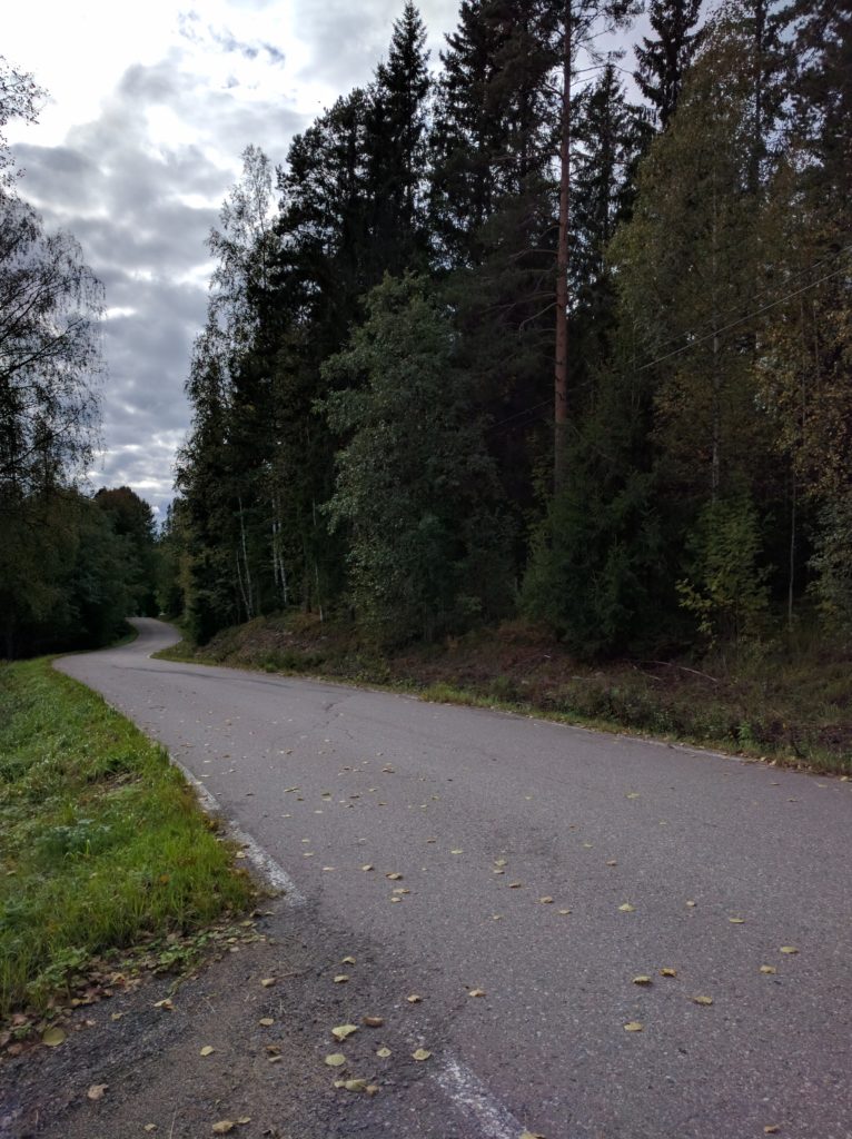
I first went along Rauhaniementie, Itä-Vihtijärventie and Löytlahdentie, which are main dirt roads to access the cottages and a nice camping by Vihtijärvi lake.

Rauhaniementie (Vihti)

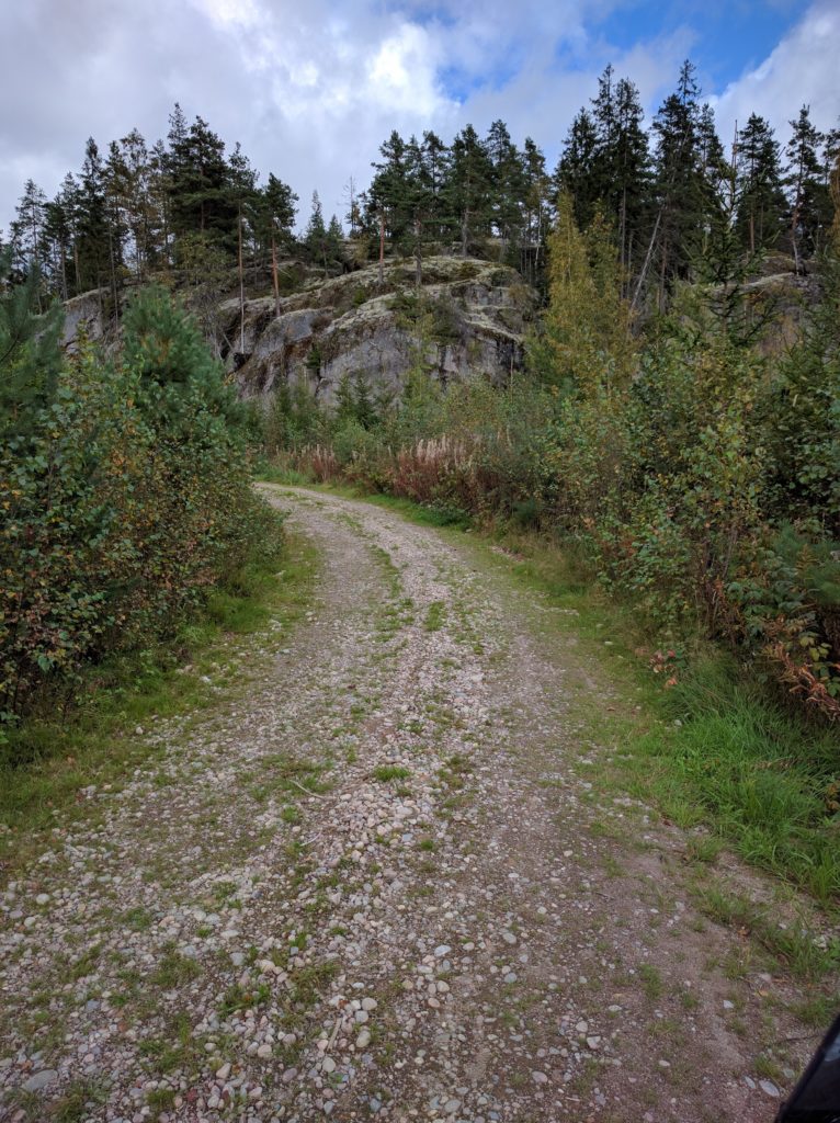
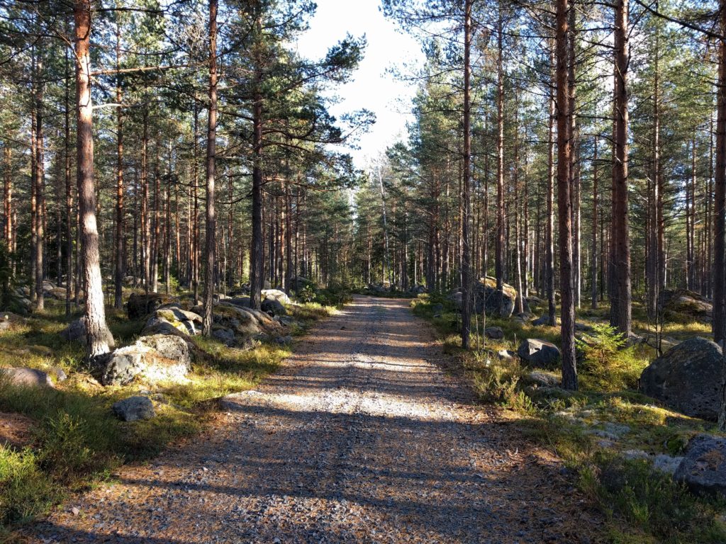
It got much better when I took Iso-Kairintie, a very challenging path of stones similar to Källängintie in Sipoo, but this is longer and has great views of Iso-Kairi lake.

Iso-Kairintie (Vihti)

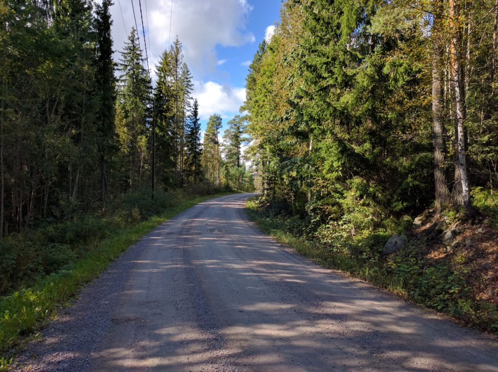
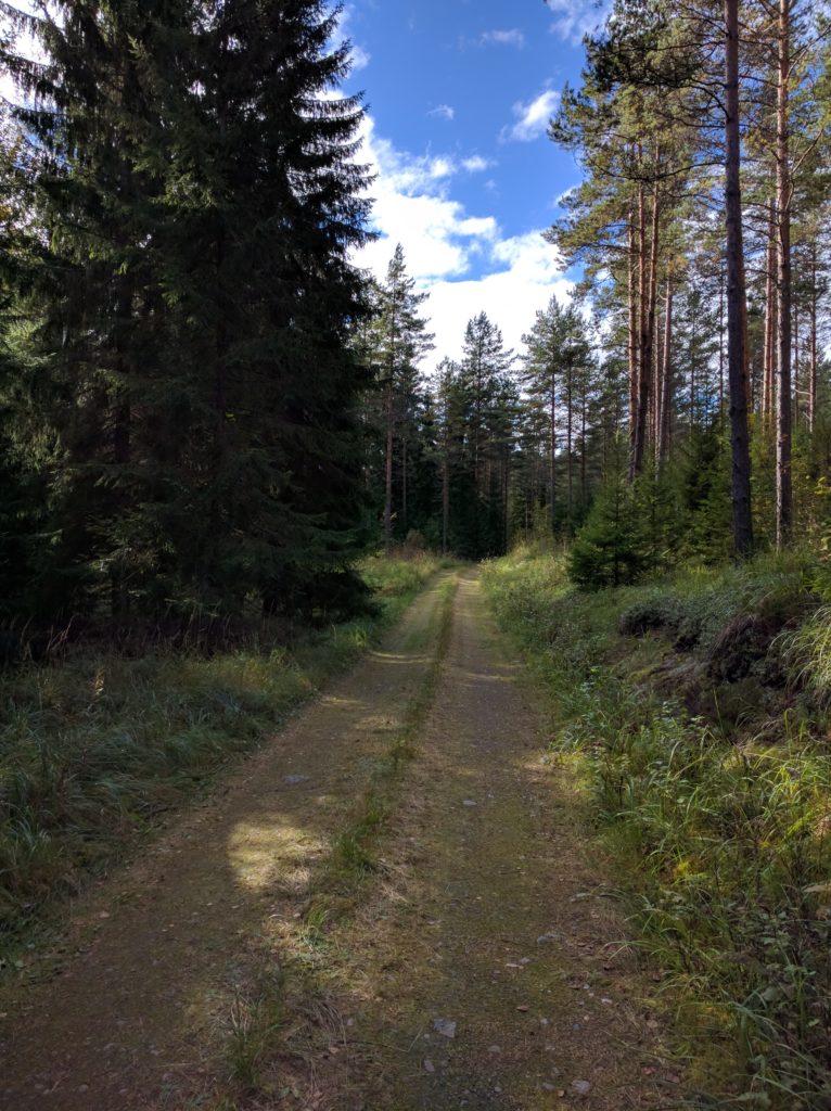
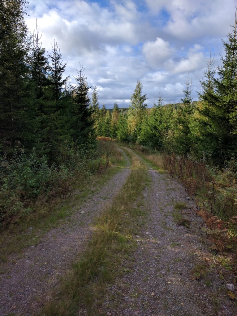
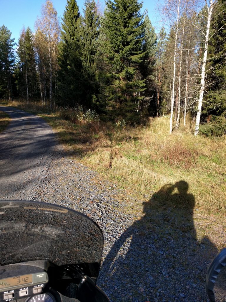
The sun doesn’t get high at this time of the year and visibility was a constant problem during the day. Trees and branches make zebra shadows on the ground that make it very difficult to spot stones and holes, like in the picture below taken in this location. They can hit you like flashes of light that prevent your eyes from getting adjusted. Despite wearing sunglasses, I could barely see a few meters ahead when the sun was right in front.

Path in Kalkkivuori (Vihti)

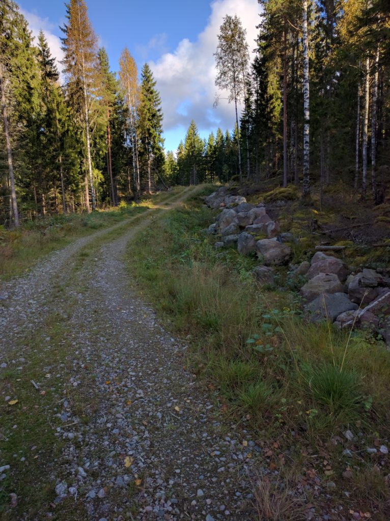
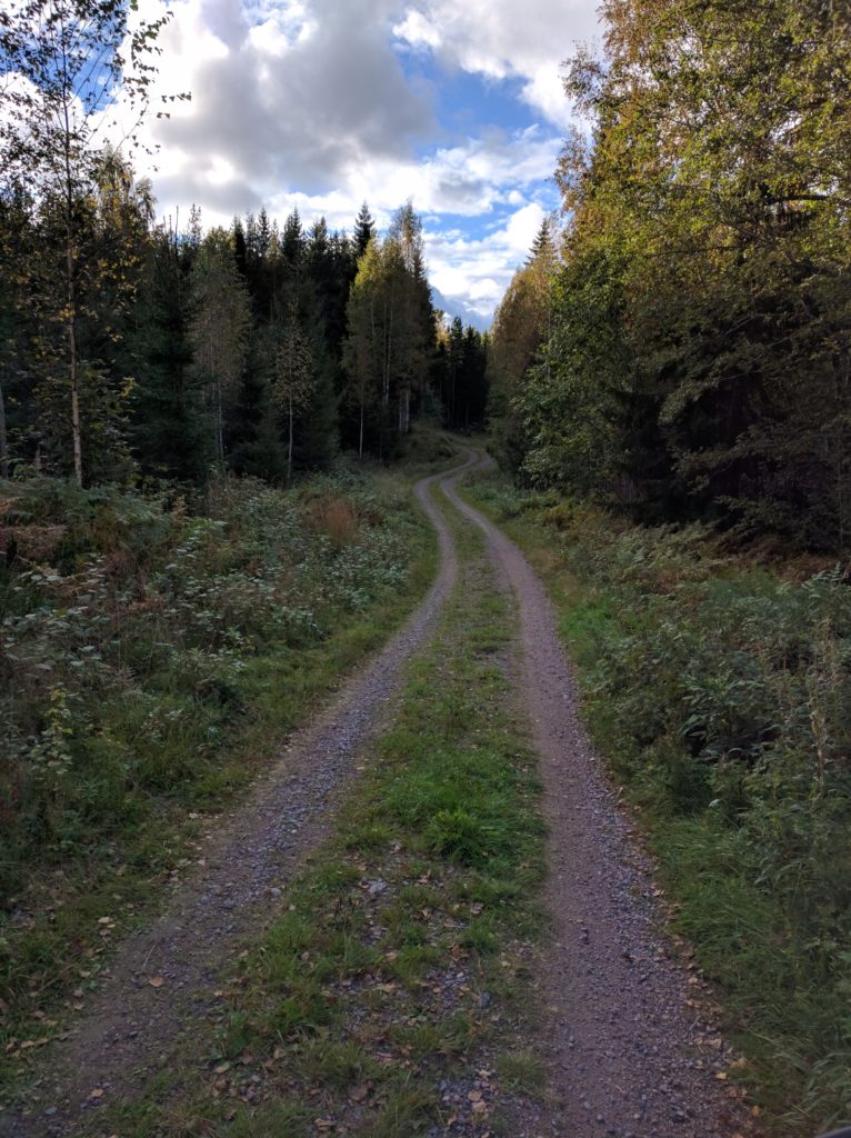
I was enjoying myself and, as you can see in the grass marks of the picture below, I missed this curve but was able to stop before crashing or falling. It’s not the first time I go off the path and I always wonder if it is because of me getting mentally blocked rather than actually reaching the limits of the bike or the road. Maybe I could have stayed in the trajectory if I hadn’t got afraid of sliding on the gravel. I would have definitelly tried if there wasn’t such a good escape in the outer side. In any case, I always try to keep the balance between fun and safe.

Path north of Valkealammi lake (Vihti)

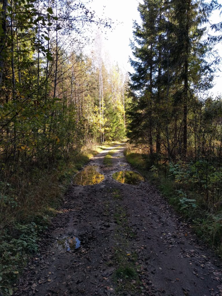
That day I discovered a new type of very deceiving path conditions. Much of the soil looked dry but was surprisingly slippery. What happened is that there had been heavy rains followed by sunny days that created a thin layer of dry soil over mud. I realized this when I noticed the tracks left by the tires were darker than the rest of the soil. Unfortunatelly I don’t have any picture to show you this, but I photographed some poodles in this location.

Path south of Suopellontie (Vihti)

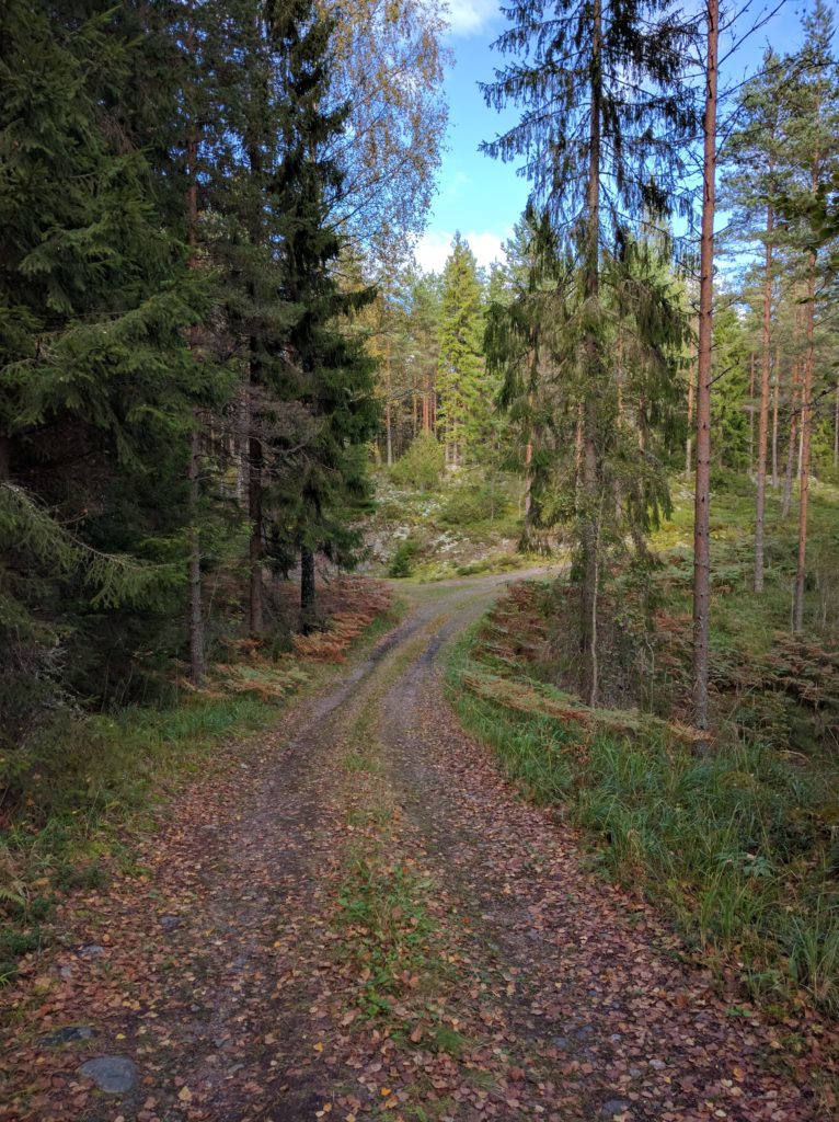
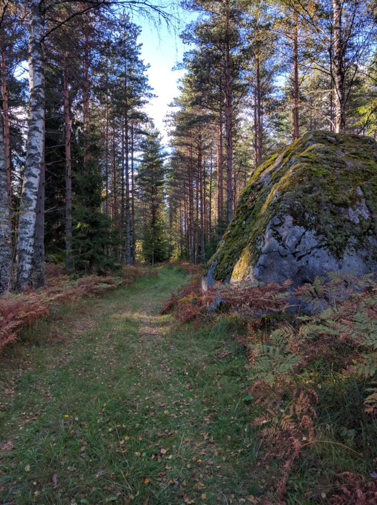
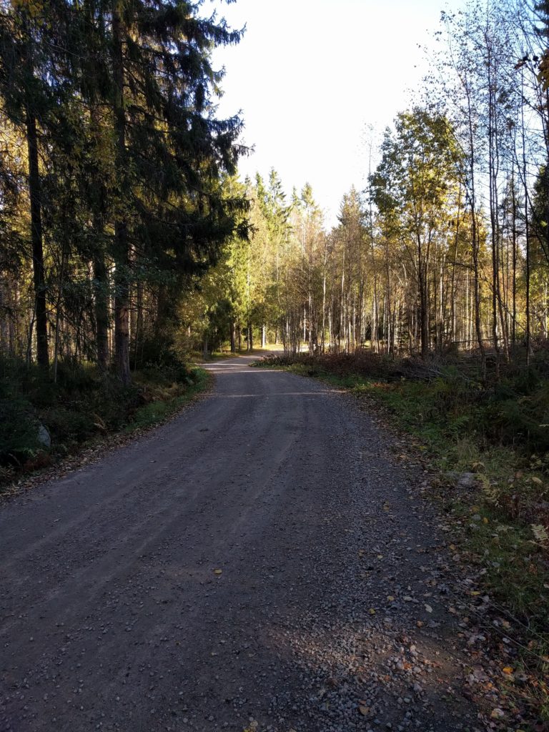
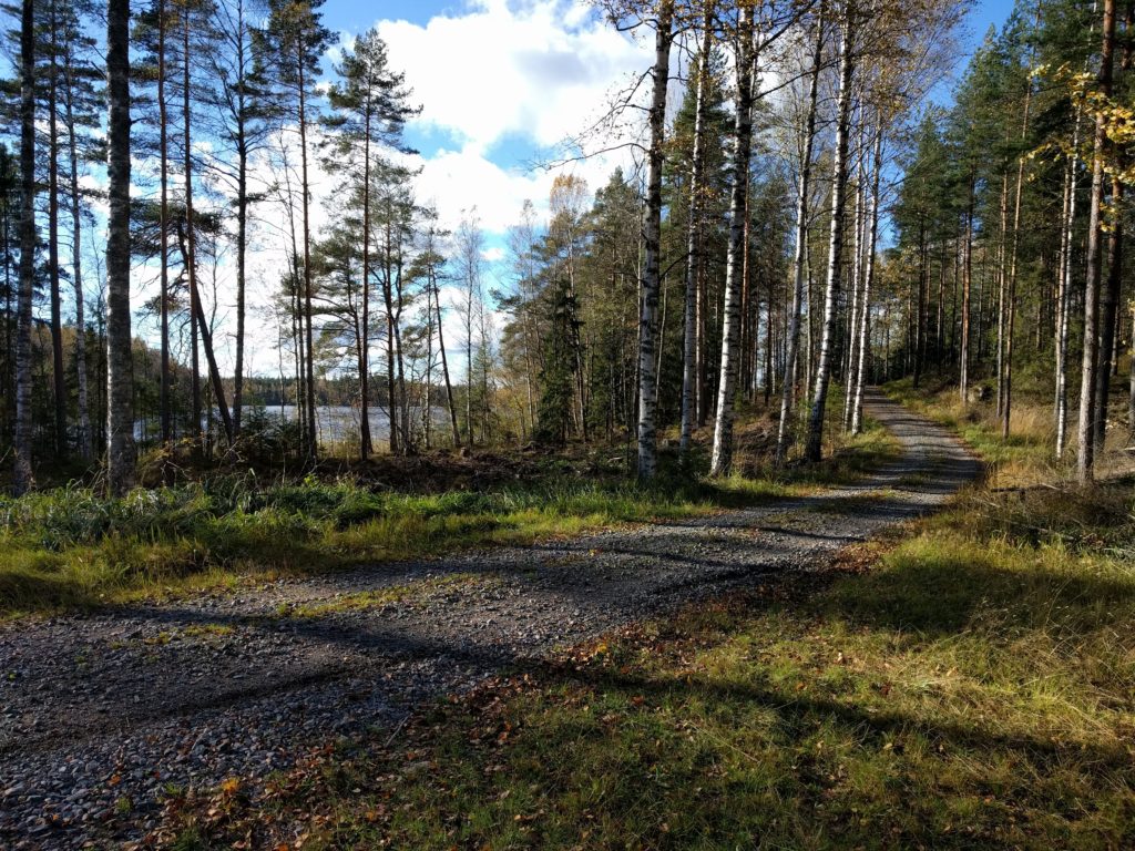
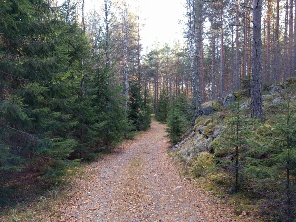
Another peculiar condition of the day was the amount of leaves due to the Fall season. The picture below was taken in this location, where I found the most beatiful spot of the day with different kinds of trees and rocks covered with moss. I stopped there to rest and listen to the wind waving the trees.

Path near Valkealammi (Vihti)

The slippery conditions put me in trouble when climbing this slope in the picture below.

Slope near ? (Vihti)
Path west of Solttila (Vihti)

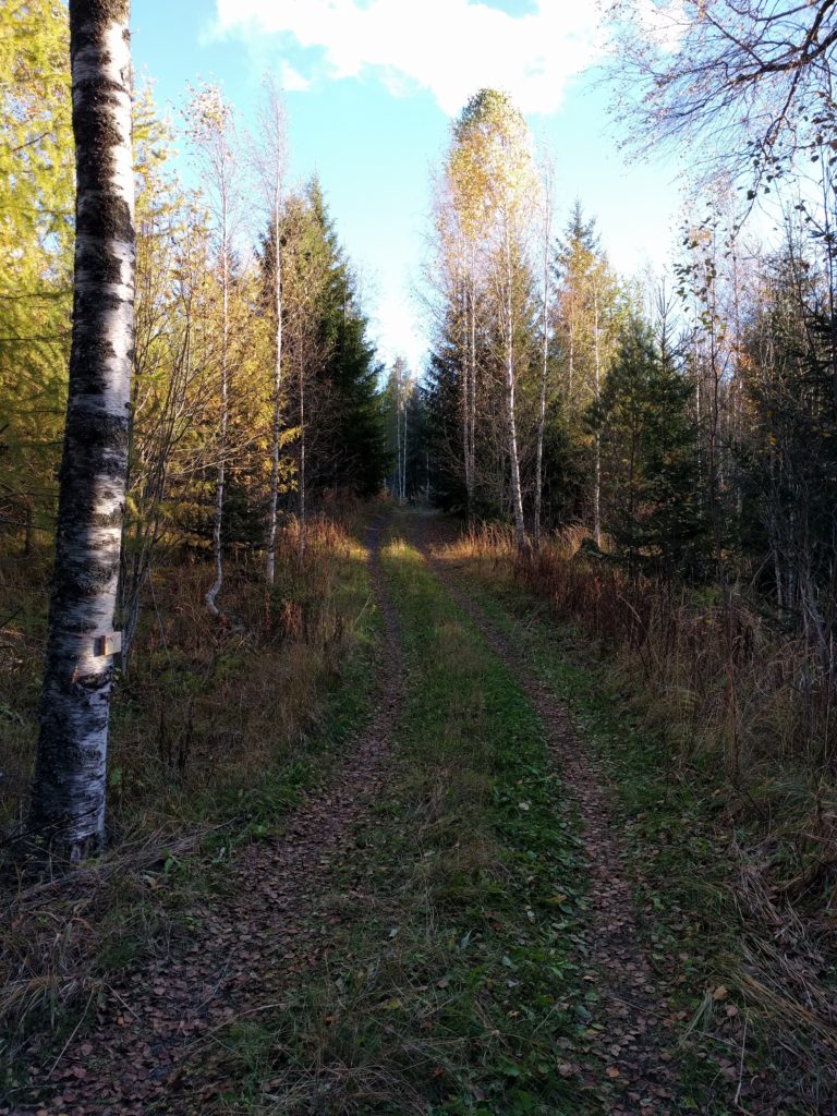
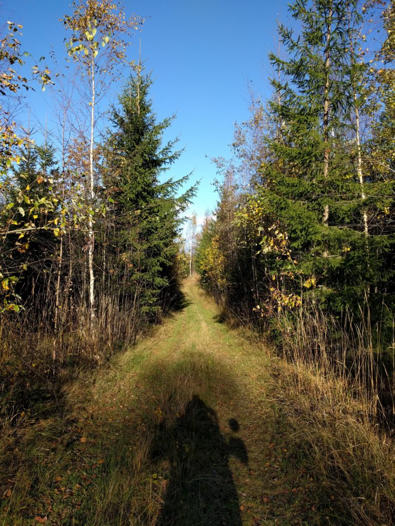
The day wouldn’t be complete without getting into high-grass paths, like in the picture below taken in this location.

Path south of Suopellontie (Vihti)

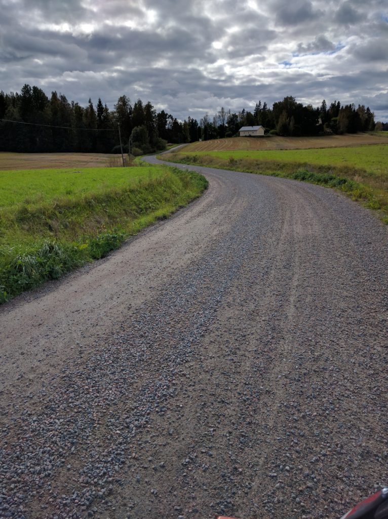
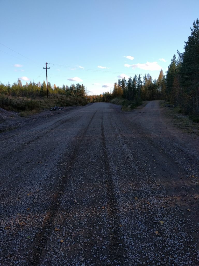
At the end I took Astrakan south to reach road 25 and went back to Helsinki. Astrakan is a wide gravel road.

Astrakan (Vihti)
Astrakan (Vihti)

Kalkkivuori is another great area for off-road motorcycling, and so must think the two KTM riders I crossed there. Besides them, I didn’t cross any other vehicle or pedestrian, but never assume nobody is around the corner. Kalkkivuori combined with the nearby forests of Niemenjärvi and Keihäsjärvi could make a perfect long day that I definitely must have next season.

Ylimmäinen

Forget Sipoo, there are far better areas for off-road motorcycling around Ylimmäinen lake. Bigger, with more tracks, all types of surfaces, quite lonley, and on top of everything, with awesome sights. Have a look at the pictures below.

I first took the E12/1301 which I left it to take the 132 to Klaukkala, and there Lepsämäntie passing Jyrkänpelto to reach Palsintie. A highway and main roads to leave the city behind.

I finally left the asphalt taking Pasintie and Palsinkorventie west, Pirunkorventie south and north again, Laurintie west, and then Koskelantie, Leppäarontie and Kössintie north-east. A residential area of main dirt roads where I crossed pedestrians and horses. An area to avoid. Now that I check Google Earth, further south there is a forest area worth checking.

Palsinkorventie near Palsi (Nurmijärvi)

I went a bit of Selintie west to take Peltolantie and Helkuntie north. Same kind of dirt roads with many houses. There is a very old farm construction in this location.

Old wooden construction in Helkuntie (Nurmijärvi)

I took the 1322 west, which I soon left to take Seisakkeentie north-west and Konnuntie and Vihantolantie west. Dirt roads as before, but more lonely areas. I like rail crossings, I see something old and romantic in them, or maybe a reminder of my childhood toy trains.

Rail crossing in Seisakkeentie (Vihti)

I continued west through Haimoon Myllytie, Haimontie and Kirveläntie to Herrakunta. The first one is challenging due to the loose gravel, Haimontie is a bad asphalt road and Kirveläntie the usual dirt road.

Haimoon Myllytie (Vihti)

I changed direction north-east through Herrakunnantie and north-west through Moksintie to reach Kantolantie. Both asphalt roads, but Herrakunnantie is curly and hilly and I wasn’t the only biker enjoying it.

Herrakunnantie (Vihti)

I was getting bored and frustrated about my trip. The most interesting road was actually Herrakunnantie. But then, everything changed.

Roughly, I took Kantolantie north, then Lustikullantie north, Rintelänkuja east to Hiiskula, Haaviskoppelintie north, came back south to take another track west to cross Lempolamminoja and reach road 133. I say roughly because I found and explored a network of forest tracks which is not totally mapped by Google.

I found many kinds of surfaces and sights, like the stones and rocks of the picture below taken in this location.

Forest track in Kantola
Forest track in Kantola (Vihti)

There were moss and trees, like in the picture below taken in this location.

Forest track near Likolampi (Kantola)
Forest track near Likolampi (Vihti)

There were leafs and bushes, like the picture below taken in this location.

Forest track in Kantola
Forest track in Kantola (Vihti)

And they were all curly and hilly tracks with amazing views. I only crossed a few parked cars of people picking something from the forest.

Next, I took Rönnintie and Kaislarannantie north, detouring to some tracks at the east to get close to Ylimmälinen and Hiukkalammi lakes. Rönnintie and Kaislarannantie were main dirt roads, the ones at the east were a bit more challenging. But this area was not as good as what I just visited south of the 133.

Track south of Ylimmäinen lake
Track south of Ylimmäinen lake (Vihti)

I took a nice picture of Hiukkalammi lake.

Hiukkalammi lake
Hiukkalammi lake (Vihti)

I still continued further north. I took Karrintie, but before reaching Keihäsjärvi, I explored some tracks to the west that are not mapped by Google. The beginning of Karrintie ir a residential area, but further north and the west tracks are really nice and challenging.

Tracks south-west of Keihäsjärvi lake
Tracks south-west of Keihäsjärvi lake (Loppi)

A big rock is sitting in this location.

Rock south-west of Keihäsjärvi lake
Rock south-west of Keihäsjärvi lake (Loppi)

The area was so good as the one south of road 133, so I explored more of it. I went back east and took Leppäojantie and Mäntymäenpolku south. Then I turned around and went north through Raunintausta, Jokisuuntie and Niinimäentie until the 132 road. Again, curly forest tracks.

Raunintausta
Raunintausta (Loppi)

I passed a pond with some nice mökkis.

Mökki in Raunitausta
Mökki in Raunitausta (Loppi)

It had been a long day with plenty of fun and excitement, so as I reached road 132 I decided to take it and the E12 motorway back home.

To recap, the areas south-west of Niemenjärvi and around Keihäsjärvi are the best for off-road motorcycling I have found so far. I will visit them again.