Lohja

This time I tried my luck west of Espoo. It’s not so populated as the north of Helsinki, but I couldn’t find any lonely forest. Most of the trip went on main dirt and asphalt roads, with homes and farms here and there. Not the best area, but not bad either. There were a couple of extreme spots that almost made me fall of the bike.

I finally found a reliable tracking app, Geo Tracker. I first took the 51 motorway west, which I left to take road 1130 north-west, Österbyntie south-west, and Volsintie and Solvikintie north to reach the 1130 again. I think I shouldn’t have left the motorway so early, only Österbyntie was a nice curly road.
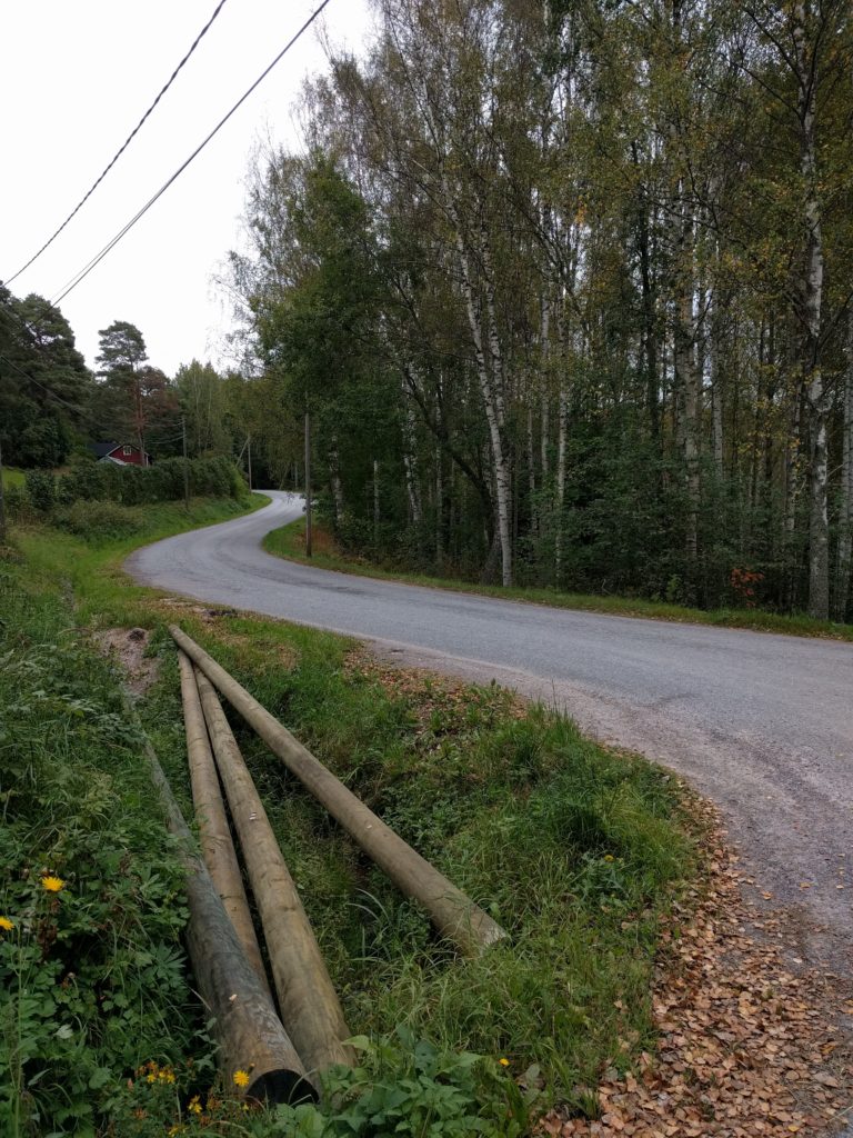
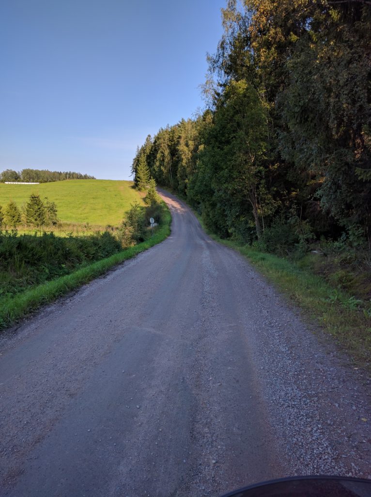
Österbyntie (Kirkkonummi)

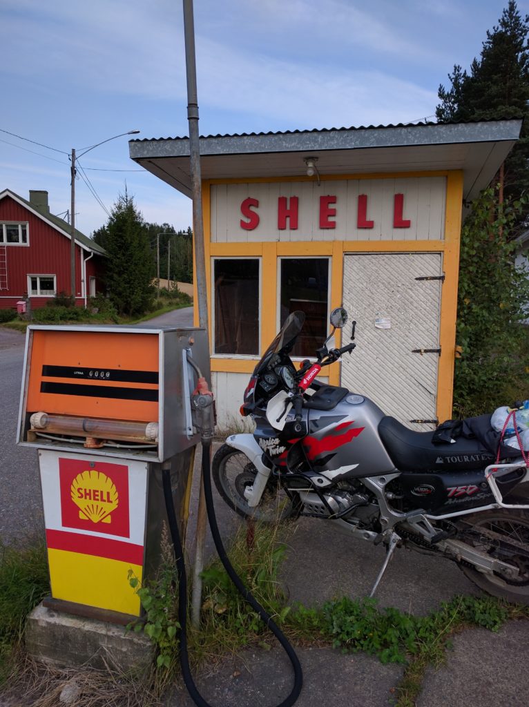
I filled the tank at a gas station that had an old pump on display.
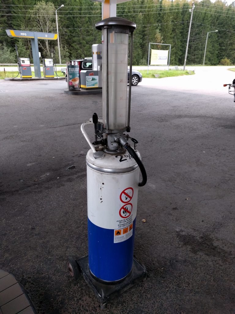
Pump in gas station by road 1130 in Espoo.

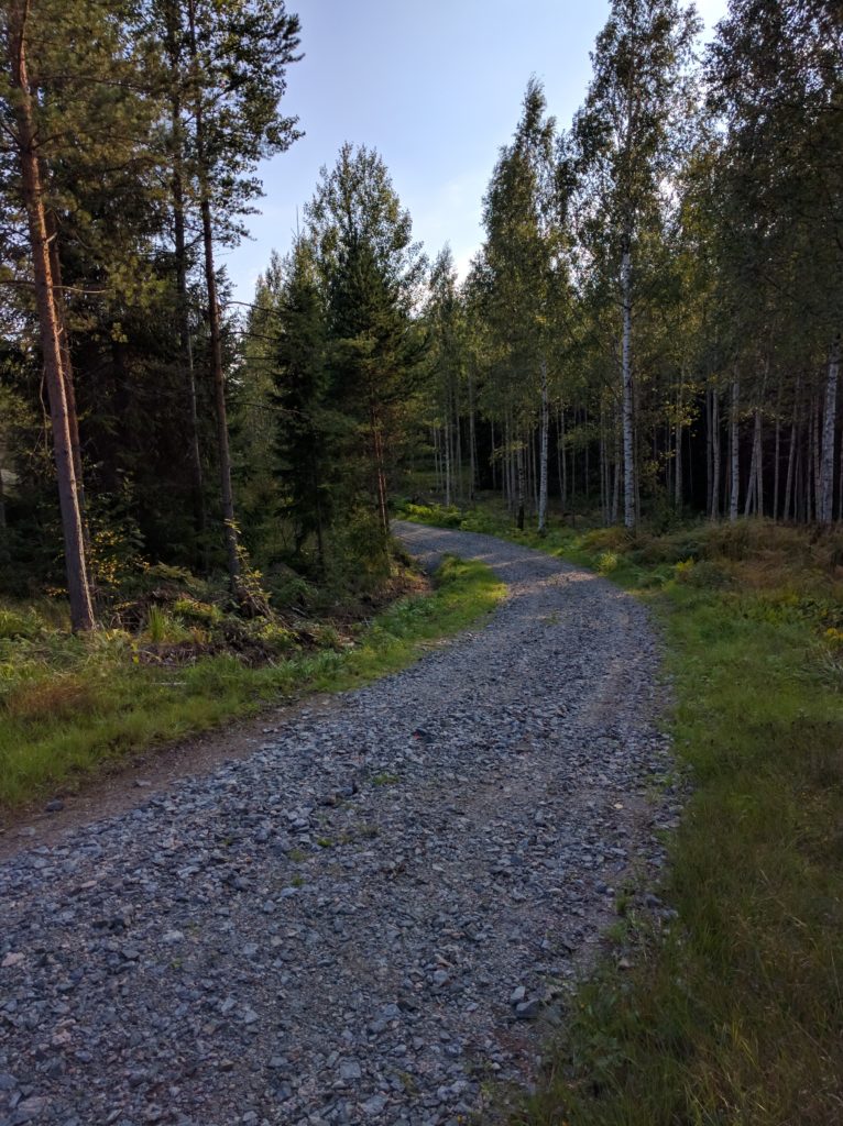
A bit of the 1130 west and I left the asphalt for the first time by taking Solvikinkaari and Björkebergantie. Not a long stage but the gravel and stones at the middle made it interesting.
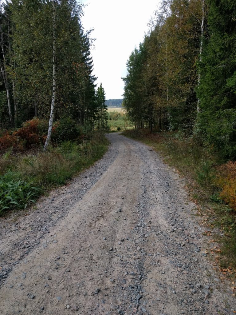
Björkebergantie (Kirkkonummi)

I kept off the asphalt by taking Karhusuontie and Harvsintie north-west, and then north along Annilantie, Niemenkyläntie, Kopulantie, Eteläinen Brännträskintie, and back to Kopulantie until its north end. Most of it were main dirt roads between fields and forests, passing scattered houses. Fun for driving at a good pace, always with caution and respect to others.
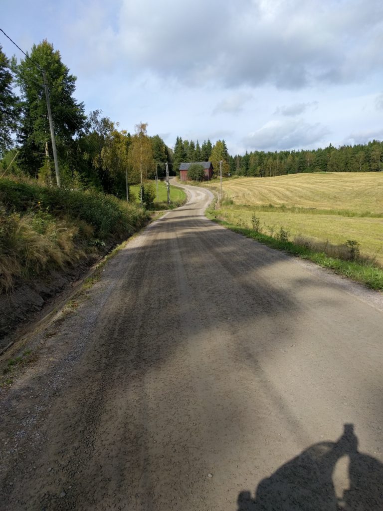
Annilantie (Siuntio)

Back on asphalt, I decided to move to another area. I took Kahvimaantie north to reach road 110, which I took north-west and I left to take Lehmijärventie south. A pretty boring parenthesis except for Lehimjarventie, which has some curves and is surrounded by a nice view of trees.
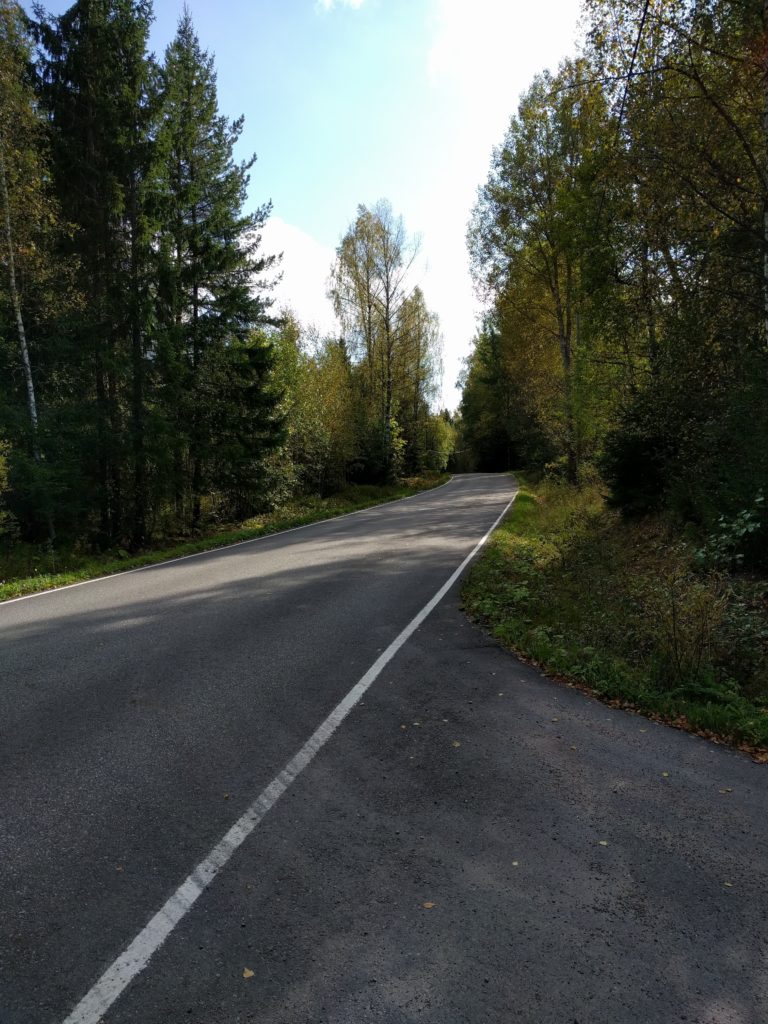
Lehmijärventie (Lohja)

Near Lehmijärvi, I took a path north-west to Vaanilantie, which I did south followed by Luomantie and Laakspohjan kartano. This was the best part of the day, dirt roads and paths with the mentioned spots that almost made fall.

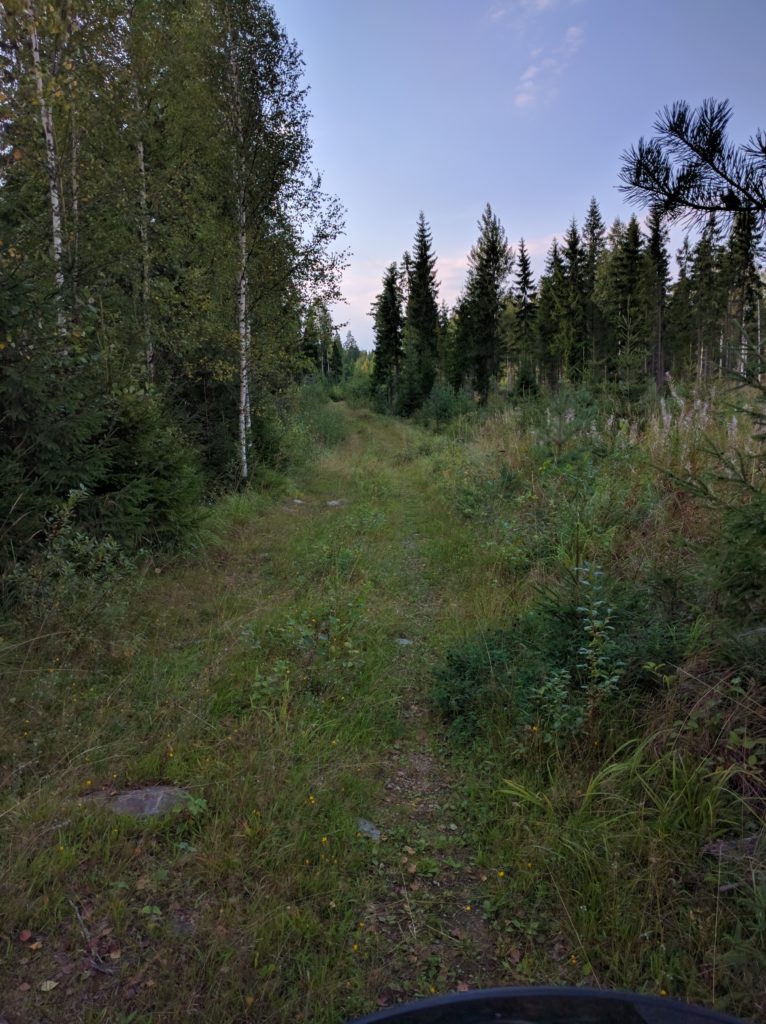
The first of the spots is here. Right before reaching Vaanilantie, the path is not mantained for vehicles and it went down a slope with some slippery mud.
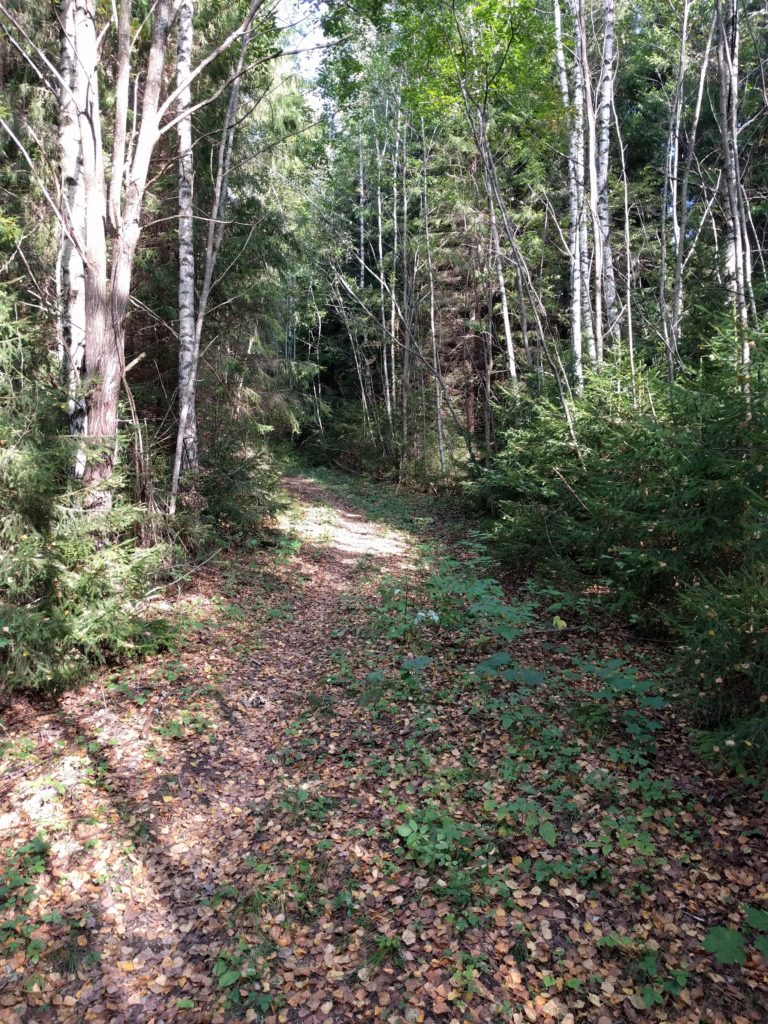
Track connecting to the north end of Vaanilantie (Lohja)
Path connecting to the north end of Vaanilantie (Lohja)

The second difficult spot is Laakspohjan kartano, because it is covered with sand. Another slope made my bike shake both sides, but there was also a beatiful part surrounded by trees.
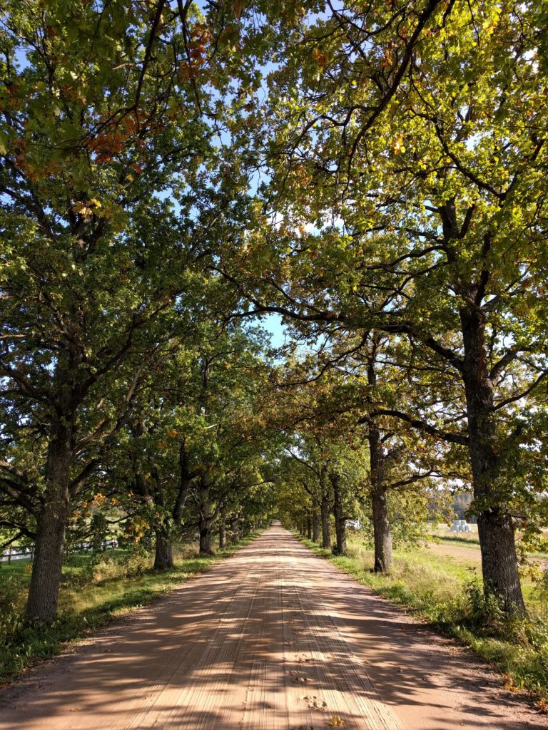
Laakspohjan kartano (Lohja)

This road has sand and shadow trees because it is used by the horses of a big farm next for it, and for that reason I won’t go there by motorbike again and I encourage you not to do it.

At that point I was near the center of Lohja, so I thought it was better to leave that populated area by taking road 25 south and then check Lohjansaarentie. The later is a curly, but it’s a busy road that goes through residential areas.

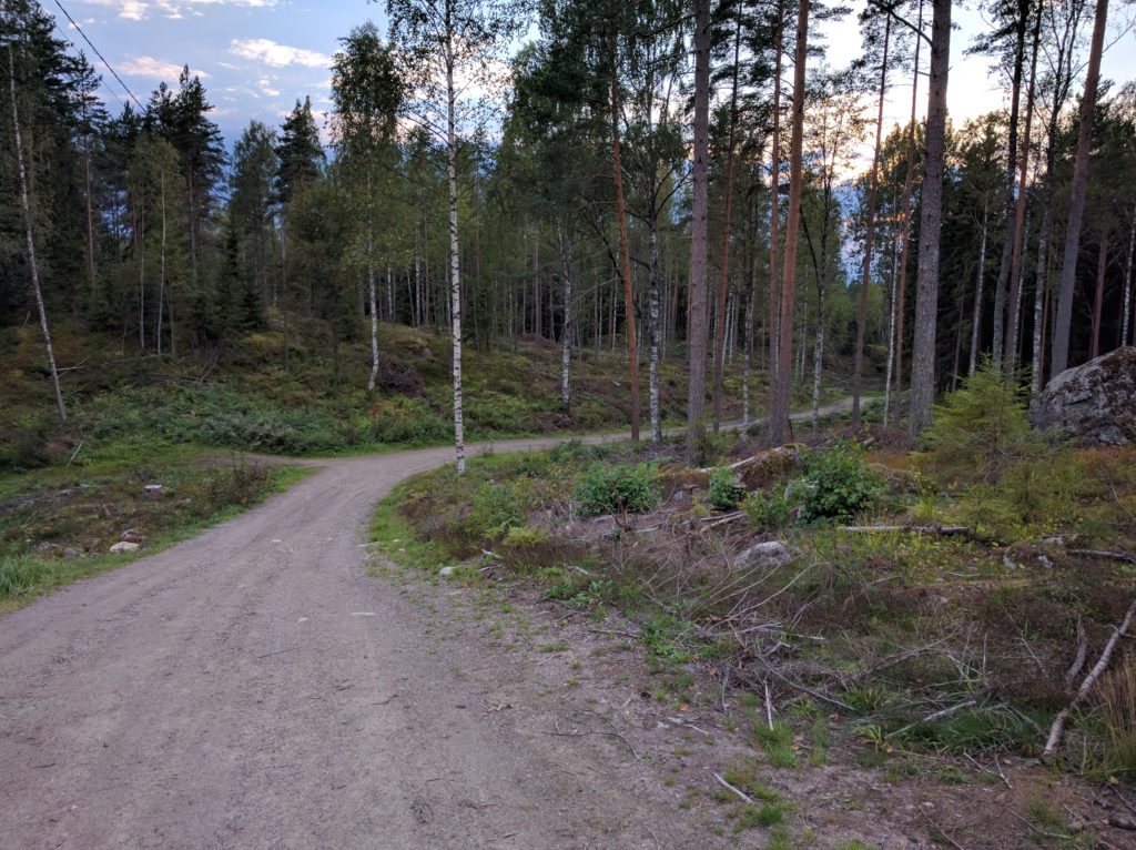
Not worthy for me, so I turned around and took road 112 to reach Vähäteurtarintie, which I did all the way south-east followed by Vassbölentie and the beginning of Paivöläntie. Again, main dirt roads with little traffic, fun for a good pace.
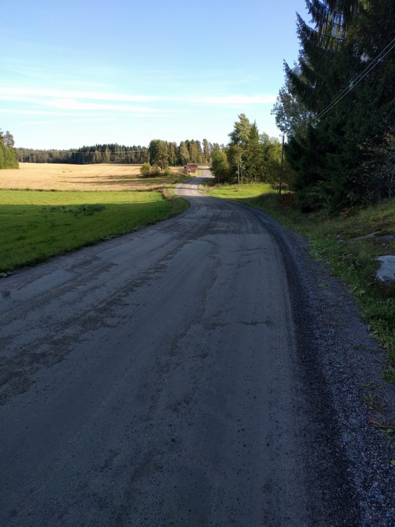
Vähäteurtarintie (Lohja)

I changed my heading to north-east, along Päivöläntie, Knapantie and Siggansintie, same type of dirt roads. Right after crossing under the rail tracks I found a more challenging, but short, dead-end forest path. I took the picture below here.
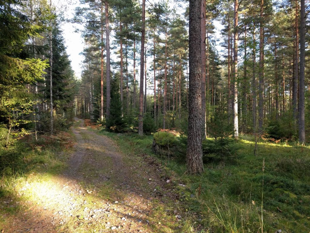
Path near the rail bridge of Siggansintie (Siuntio)

I continued north along Grennäsintie, a bit of road 1130 west, and Gårdskulla. Same dirt roads, with a slightly rougher part in the middle of Gårdskulla.
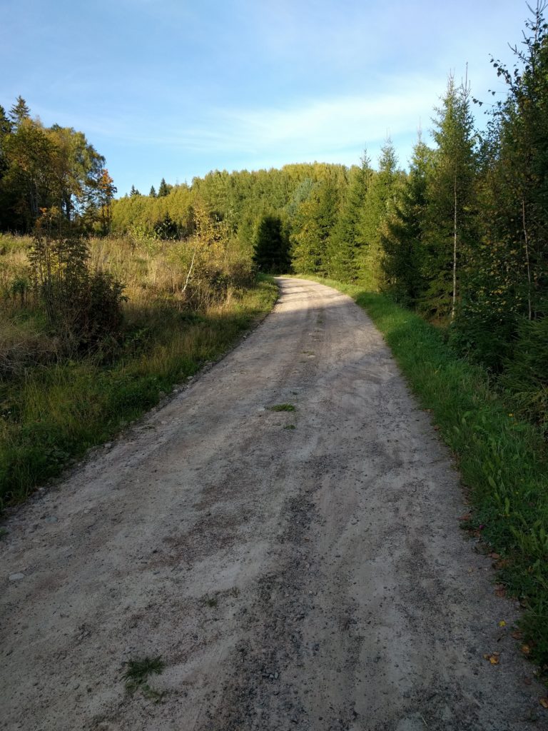
Gårdskulla (Siuintio)

At that point I was mostly heading to highway E18 to go back home, so I took a bit of road 116 south-east and Niemenkyläntie north. The only interesting thing about these asphalt roads were the views of fields and forests.

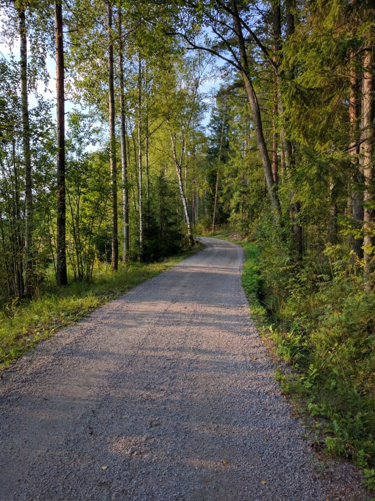
The last dirt road of the day was Lieviöntie, same as others of the day but with more traffic as I was getting closer to populated areas.
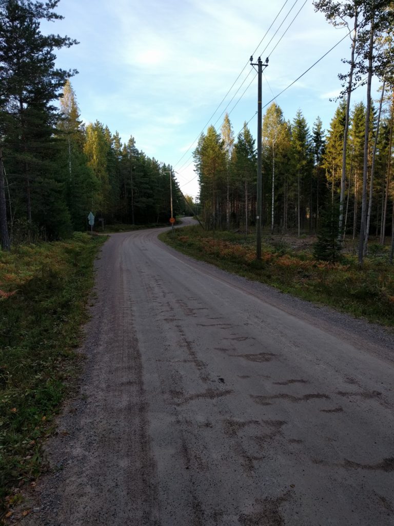
Lieviöntie (Lohja)
Lieviöntie (Lohja)

Finally I took Muijalantie and the road 1125 to reach highway E18 and end the day.

Sipoo

The surroundings of Sipoo are the best area for off-road motorcycling that I have found around Helsinki (Update: Ylimmäinen is much better). I have been there before I started this blog and I went again to take note of the good roads. Keep in mind that it’s also an area where locals use the same unpaved roads to ride their horses.

I finally learnt that it’s best to take a main road to leave the city far and fast before looking for good ones, so I took the E18 east, then Eriksnäsinte and Söderkullantie north, and then Gesterbyntie east to find the first unpaved road in Gästerby.

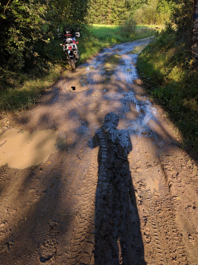
I took Storträskintie, Källängintie and Tarpolantie to reach Boxintie. The two first form the best off-road track that I have found around Helsinki so far. A lonely curly narrow track between trees and some parts paved with stones. It also had muddy parts as it had been raining the previous days, and it was in one of those parts that I felt off my bike.

Mud in Storträskintie (Sipoo)

You can see in the tire marks how I lost control before falling on the grass where the bike is standing. I’m an unexperienced off-road rider, but I blame most of my difficulties over mud to the worn inadecuate tires that my bike has. Something I plan to fix in the next season.

Without more consecuences than a bended fairing, I lifted the bike and continued to the stones parts of Källängintie.

Stones in Källängintie (Sipoo)

Stones like those make the bike shake and slide, quite tricky and fun. They will also hit the bottom of your bike, better have protectors.

Back on asphalt, I took Boxintie and Brobölentie north to Sipoo. Sipoo is a small town with an old church worth seeing. I crossed Sipoo through Iso Kylätie and Humalistontie, and took Paippistentie north until the former Moottorikahvila.

It seems the Moottorikahvila was a bikers cafe, but unfortunatelly it’s closed. Next to it there is an old gas station where I took this picture.

Gas station in Paippinen
Gas station in Paippinen (Sipoo)

I left the asphalt taking Snickarbackantie east and Impaksentie north to cross Impaändan.

Snickarbackantie (Sipoo)

I missed the north-west turn near Fransas and I countinued north-east. This put me in a forest track that got worse and worse, first with mud and ponds, then tall grass, rocks and deep holes. I realized my mistake but in such situations I have a voice in my head challenging me to go further. I felt two more times and, since I have another voice reminding me that if I get stuck the rescue truck isn’t going to tow me out of there, I decided to turn around. Such maneuver is always difficult in my big heavy motorbike.

But, before leaving, I took a picture of the worst part I reached. The grass hides how irregular the terrain is.

Forest track near Fransas (Sipoo)

I followed Koivuniityntie north-west and Brusaksentie south-west. I couldn’t find the beginning of Sivenojantie until a local came to me and we overcame the language barrier making gestures.

I took Sivenojantie and Jungfrustenintie north, finding more loose gravel than usual in similar roads.

Jungfrustenintie (Sipoo)

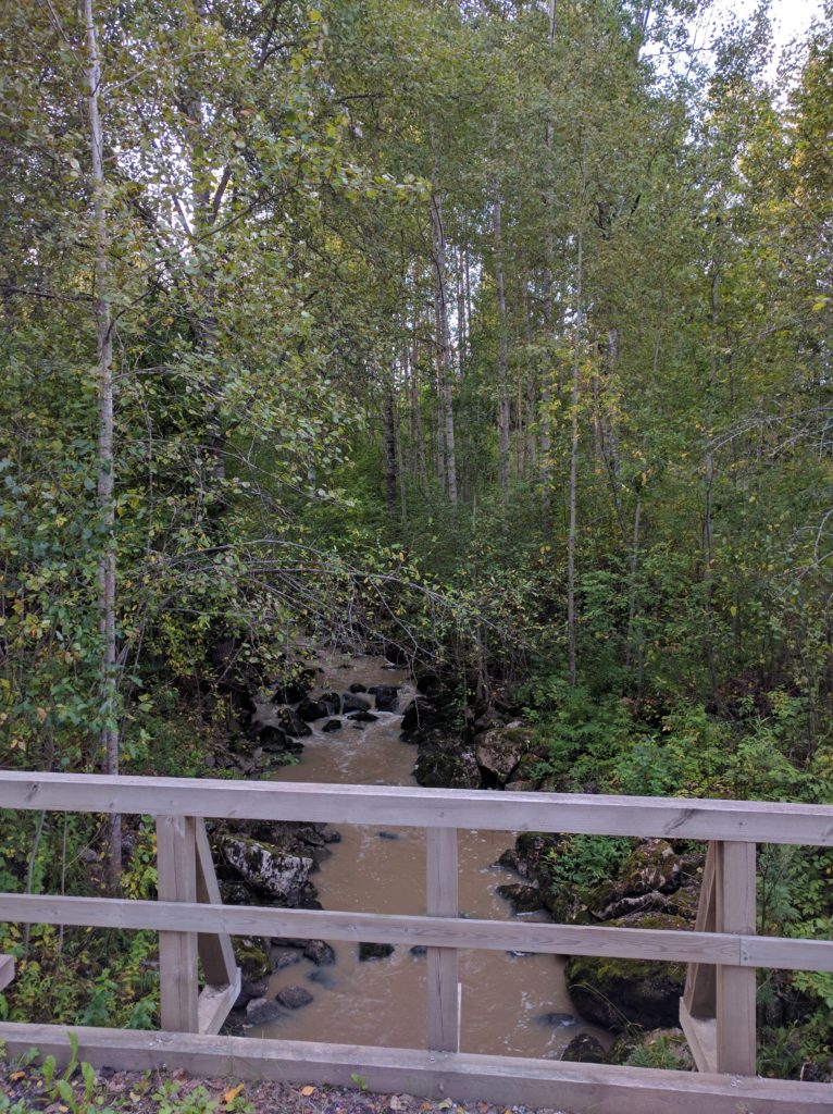
On asphalt again, I took road 146/Järvenpääntie east and Brusaksentie south to get back to business in Hommanäsintie. It’s worth to make a stop on the bridge over the river.

Bridge in Hommanäs (Sipoo)

It’s precisely in Sivenojantie, Jungfrustenintie and Hommanäsintie where I usually find horses, so be careful and avoid scaring them.

My return started taking Paippistentie south, crossing Sipoo again, and Brobölentie south. But instead of continuing straight to the E18, I took Hindsbyntie south and Martiksentie west to Mosabacka. It paid off because most of Martiksentie is a dirt road and part of it a nice forest track crossing Sipoonkorpi National Park. I took my last picture there.

Martiksentie in Sipoonkorpi National Park (Sipoo)

Finally I took Vanha Porvoontie and the E75 motorway south to Helsinki.

So yes, the best off-road area around Helsinki. I try to avoid annoying locals by not repeating the same area in a short period of time, otherwise I would go there again. I think I should explore further north-east, it looks similar in Google Maps.