Kalkkivuori 2

This could be my last ride of the season, so I decided to have assured fun going to Kalkkivuori again. This is definitely my favourite area so far. I went to the same paths again, so rather than describe the route I’m going to highlight the best paths and spots.

It had been raining heavily the day before, so the soil was soft and muddy even though it looked dry. Thanks to proper tires and my growing experience I drove more confident than ever, beginning to accelerate in curves, controlling some occasional slides. I didn’t fall a single time. The bike doesn’t feel so heavy after driving it fully loaded in Iceland. It was my best day in Finland.

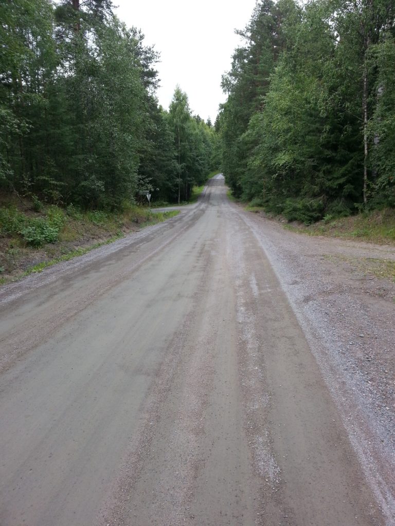
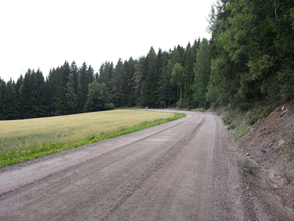
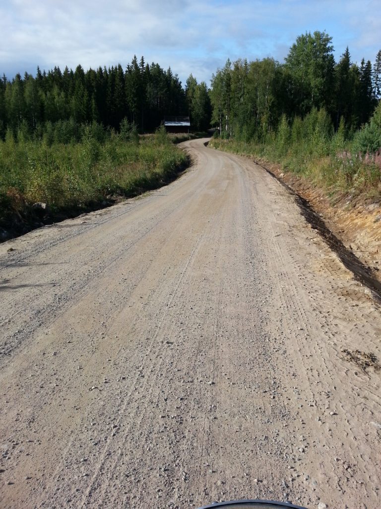
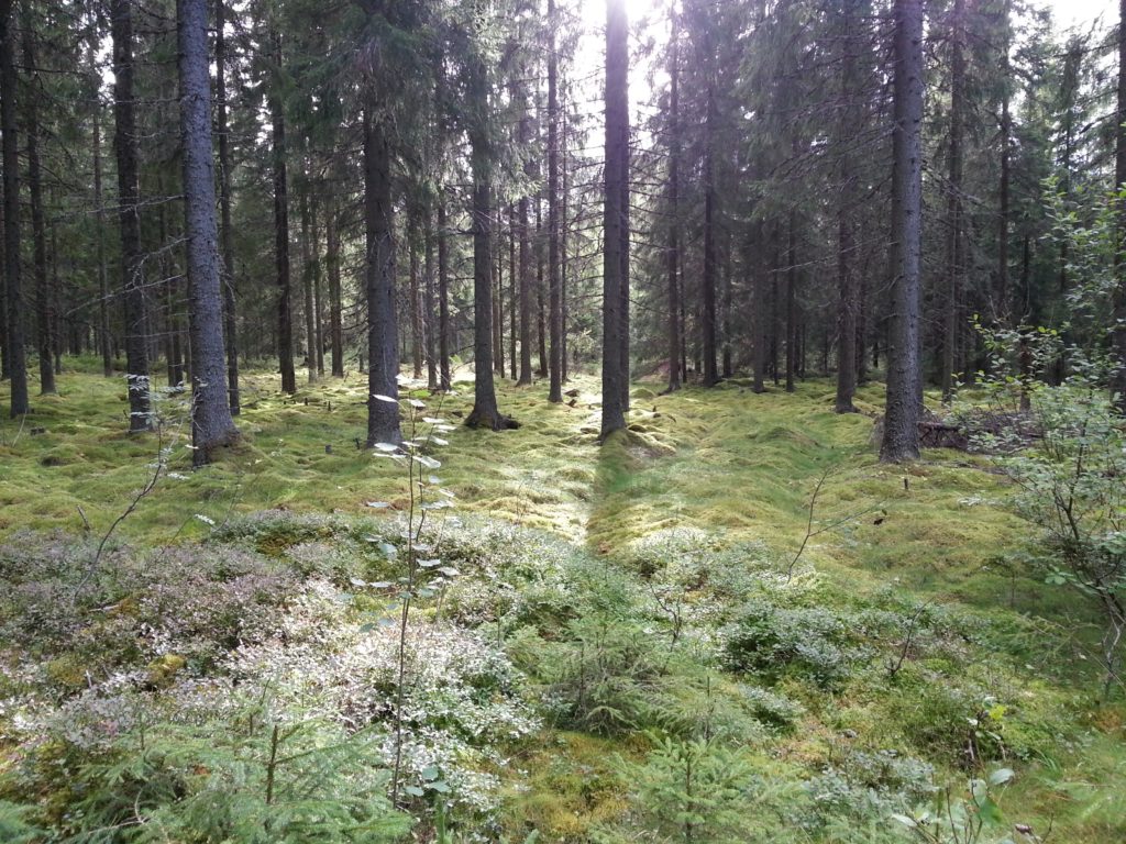
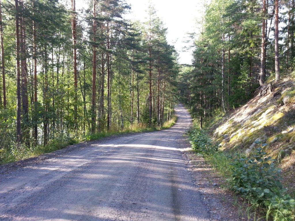
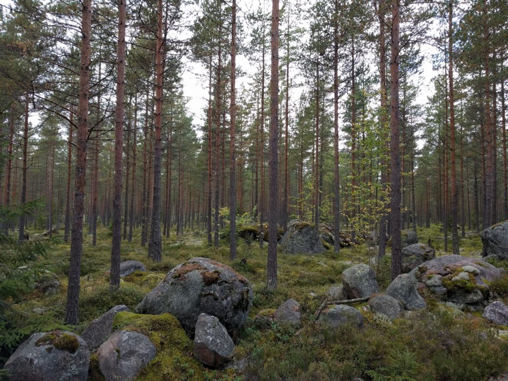
The “U” formed by Mukulamäentie and Suurniityntie is really a great area for off-road motorcycling. These roads are nice forest paths with some gravel and good views. I took another picture of the spot with rocks covered with moss, that you can see below.

Forest in Kalkkivuori (Vihti)

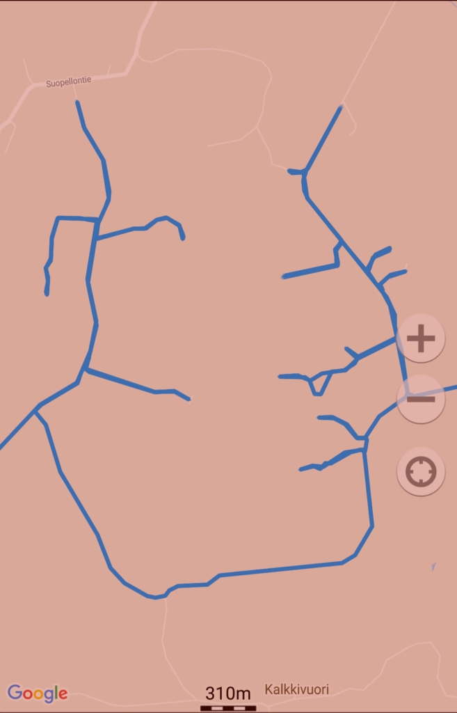
The best part of this area is not Mukulamäentie and Suurniityntie, but the multiple semi-abandoned paths that start from them and are not in Google Maps. Check out the screenshot of Geo Tracker below.

Forest paths in Kalkkivuori (Vihti)

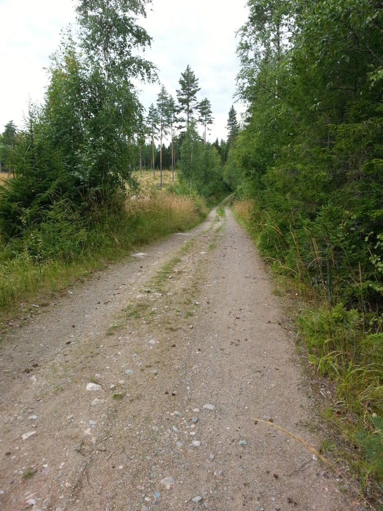
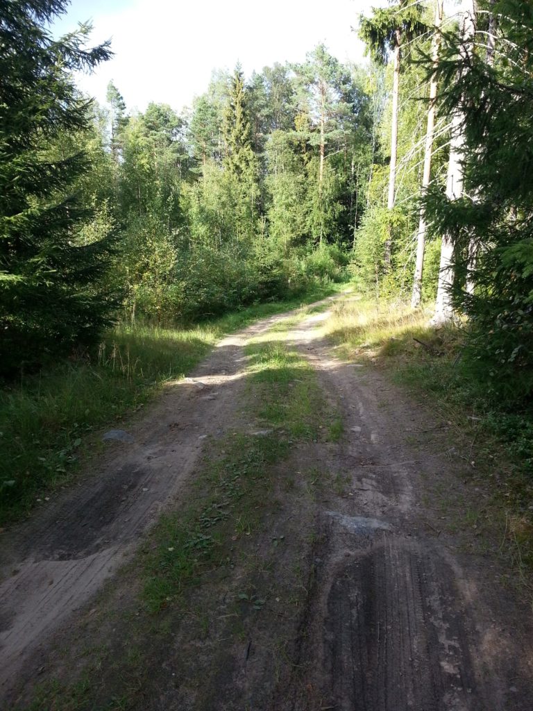
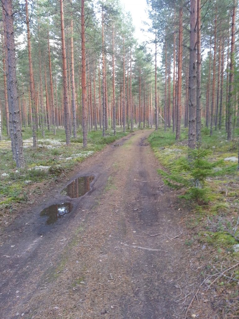
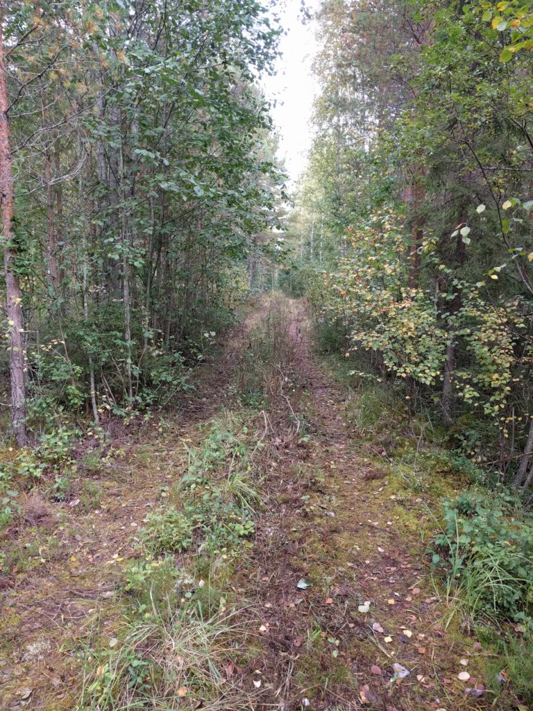
For example, the picture below was taken in this location and shows a path with grown vegetation including branches, which was also muddy and slippery in some parts.

Forest path near Suurniityntie (Hyvinkää)

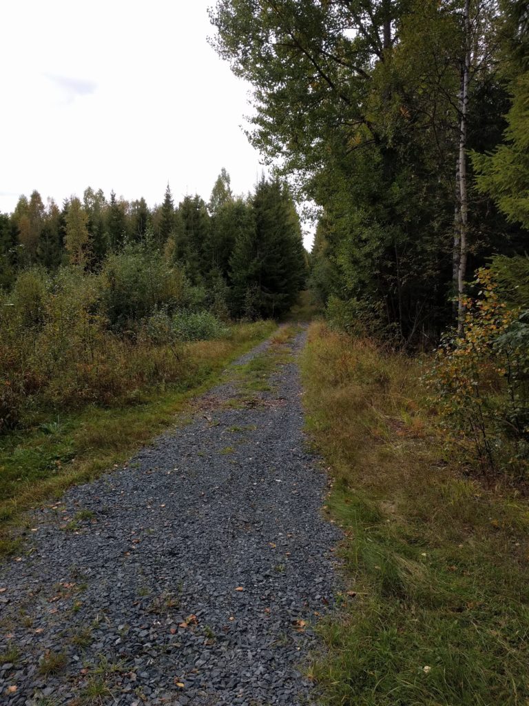
The best path was actually the one that starts in this location. It was covered with vegetation, sometimes slippery and so uneven I even hit the ground with my skid plate. It was long and I could have continued further; but I turned around because I was going deep in the forest and I got worried of getting stuck. Unfortunately I was so excited and concentrated with the driving that I forgot to take a picture of the best part, but here is the beginning:

Forest path near Mukulamäentie (Hyvinkää)

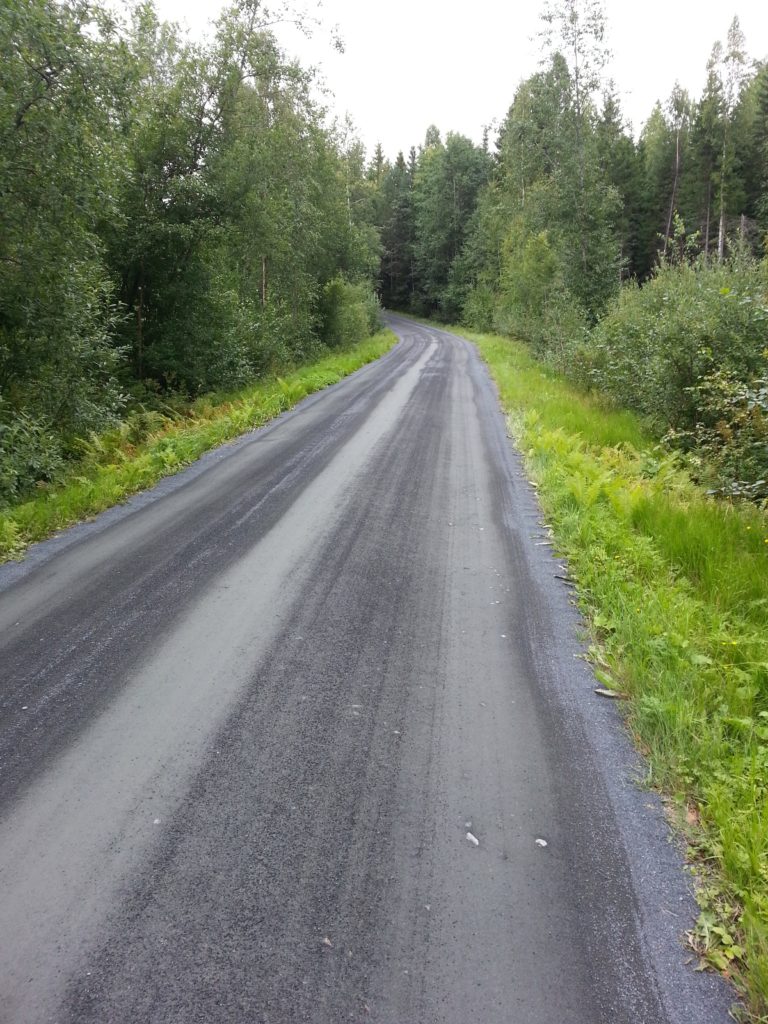
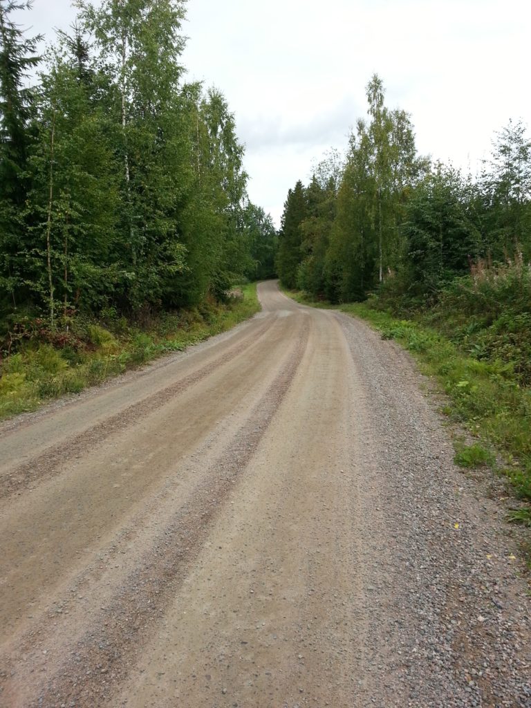
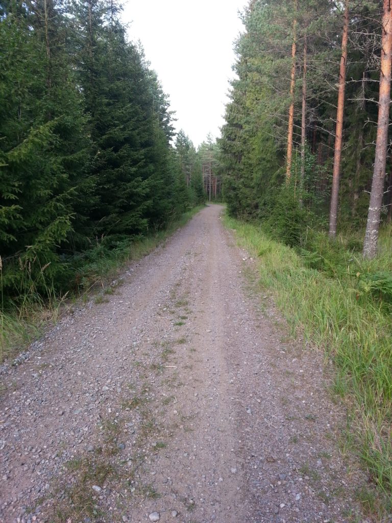
I went through Iso-Kairintie again. It’s really a great curly road to push the limits with some controlled sliding. This time the vegetation was so grown that I could hardly see the lake.

As mentioned, I think this was a perfect ending for the season. I will soon store my bike and hopefully I will have the time to start telling you about Iceland before I forget too many details.

Loppi

For this day trip I looked at Google Earth again and decided to go west of Hyvinkää, not remembering that I have been there before. You may notice the lower quality of the pictures, taken with my old Samsung Galaxy S3 because my Nexus 5X was being repaired.

I took the E12 north to Hyvinkää and then 1361 west. The first gravel roads that I tried were the beginnig of Jauholammintie and Piilolammintie. They are the typical hard-soil and gravel roads, in this case narrow and with poor curve visibility due to the vegetation. Not worthy.

Piilolammintie (Hyvinkää)

I continued west in the 1361 and tried Kenkiäntie. Without pretending it, I was again in the road where I had the fall. I have come to hate these roads of gravel over hard soil, it’s like going over marbles. Treacherous and not fun.

Kenkiäntie (Hyvinkää)

I went west in Hirvijärventie. Until Rantala it is paved and with many houses by the road, then it’s again a gravel road and still many houses.

Hirvijärventie (Loppi)

I went up and down Pitkäjärventie. This a more interesting forest track with some stones and grass, only too short.

Pitkäjärventie (Loppi)

I took Hirsmäentie and Nyynäistentie north until road 54. They didn’t have so many houses as Hirvijärventie but they were the same kind of roads.

Nyynäistentie (Loppi)

I took 54 west (which is an asphalt road) and then Kaakkomäentie and Ourajoentie north. Same again, hard soil, gravel, few houses.

Ourajoentie (Loppi)

I went back to 54 and tried Kalamajantie south and Niitymäentie north. (You can go all this way despite not being connected in Google Maps). Same thing as before, except for this part which is a forest track similar to Pitkäjärventie. I took the picture below in this location.

Niittymäentie (Loppi)

There are some hunting posts that I used to place my camera and take videos of myself passing by. In this location the forest was covered with moss and I could take the nice picture below.

Forest near Niittumäki (Loppi)

I continued south on Hirsijärventie and then north-west on Eräläntie. Hard gravel roads again, with some nice views of forests and lakes.

Eräläntie (Loppi)

I took Takalammentie east and the track that goes to Kurtlammi lake. Takalammentie is still hard soil, but the other is a short forest track with stones and grass similar to Pitkäjärventie, as you can see in the picture below.

Track to Kurtlammi lake (Loppi).

South of Takalammentie there is another nice short track that doesn’t exist in Google Maps. In this location I took a picture of it that you can see below.

Track west of Sylkkiöt lake (Loppi)

I decided to call it a day so I took roads 2832, 132 and E12 back to Helsinki. I must say that, if you like asphalt, 2832 is a nice slightly curvy and hilly road with good pavement and little traffic.

So, not a good area for off-road driving. The few nice tracks were too short. At least, I know where not to waste my time again. The season is coming to an end, so next time I will probably repeat Ylimmäinen or Kalkkivuori.