Sipoo

The surroundings of Sipoo are the best area for off-road motorcycling that I have found around Helsinki (Update: Ylimmäinen is much better). I have been there before I started this blog and I went again to take note of the good roads. Keep in mind that it’s also an area where locals use the same unpaved roads to ride their horses.

I finally learnt that it’s best to take a main road to leave the city far and fast before looking for good ones, so I took the E18 east, then Eriksnäsinte and Söderkullantie north, and then Gesterbyntie east to find the first unpaved road in Gästerby.

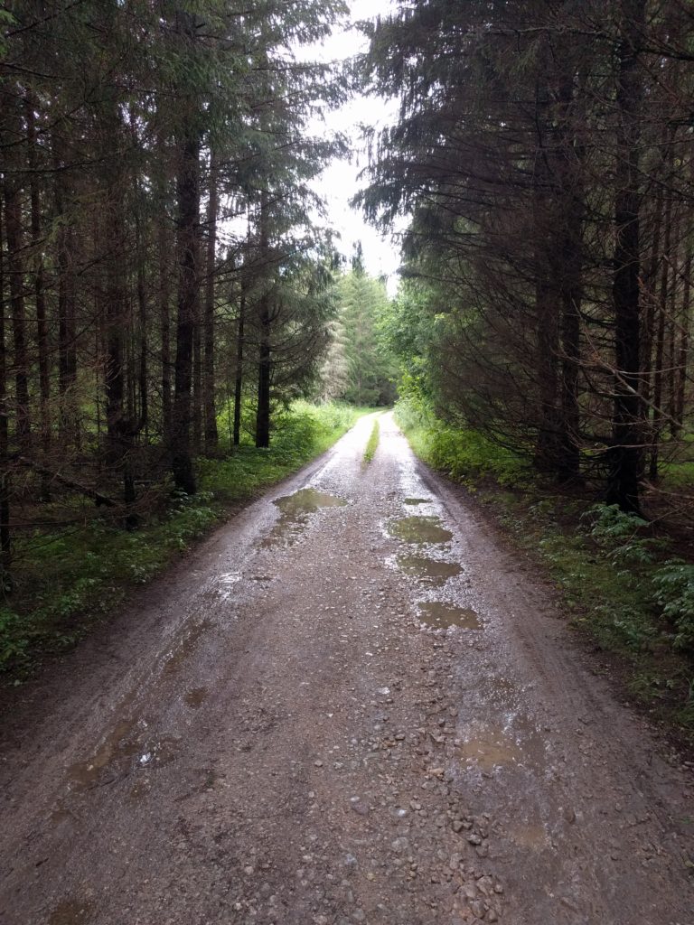
I took Storträskintie, Källängintie and Tarpolantie to reach Boxintie. The two first form the best off-road track that I have found around Helsinki so far. A lonely curly narrow track between trees and some parts paved with stones. It also had muddy parts as it had been raining the previous days, and it was in one of those parts that I felt off my bike.

Mud in Storträskintie (Sipoo)

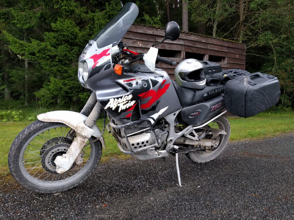
You can see in the tire marks how I lost control before falling on the grass where the bike is standing. I’m an unexperienced off-road rider, but I blame most of my difficulties over mud to the worn inadecuate tires that my bike has. Something I plan to fix in the next season.

Without more consecuences than a bended fairing, I lifted the bike and continued to the stones parts of Källängintie.

Stones in Källängintie (Sipoo)

Stones like those make the bike shake and slide, quite tricky and fun. They will also hit the bottom of your bike, better have protectors.

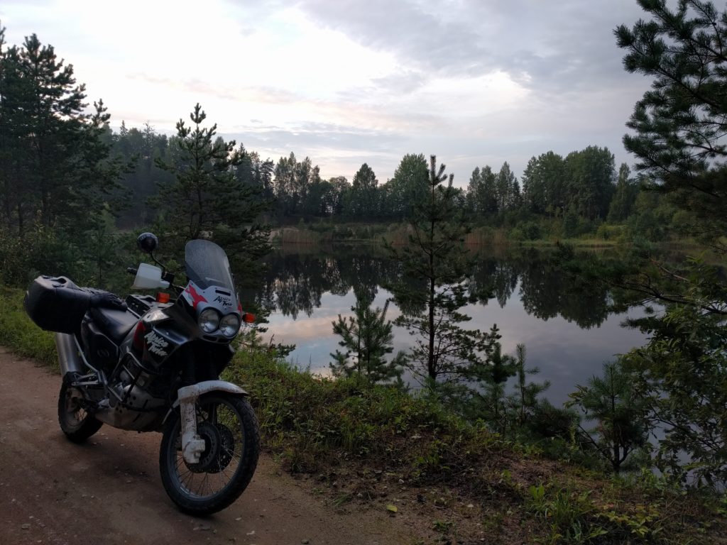
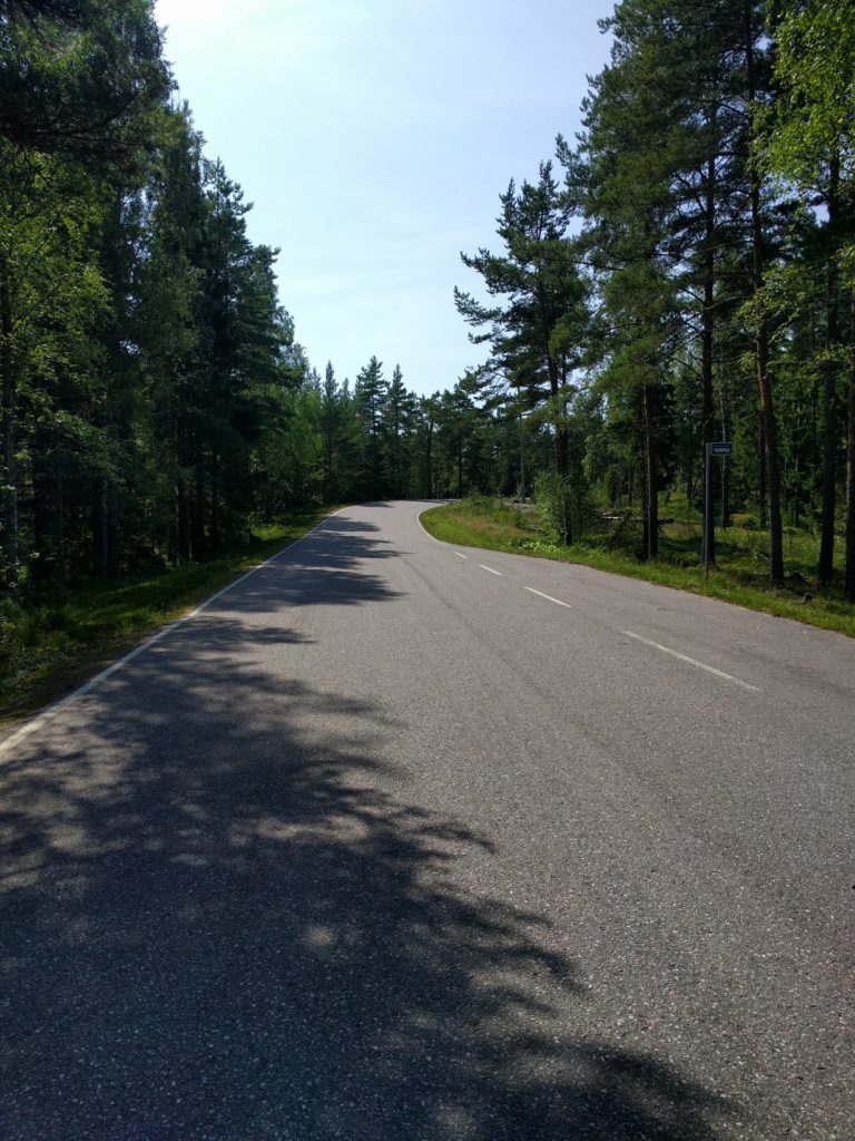
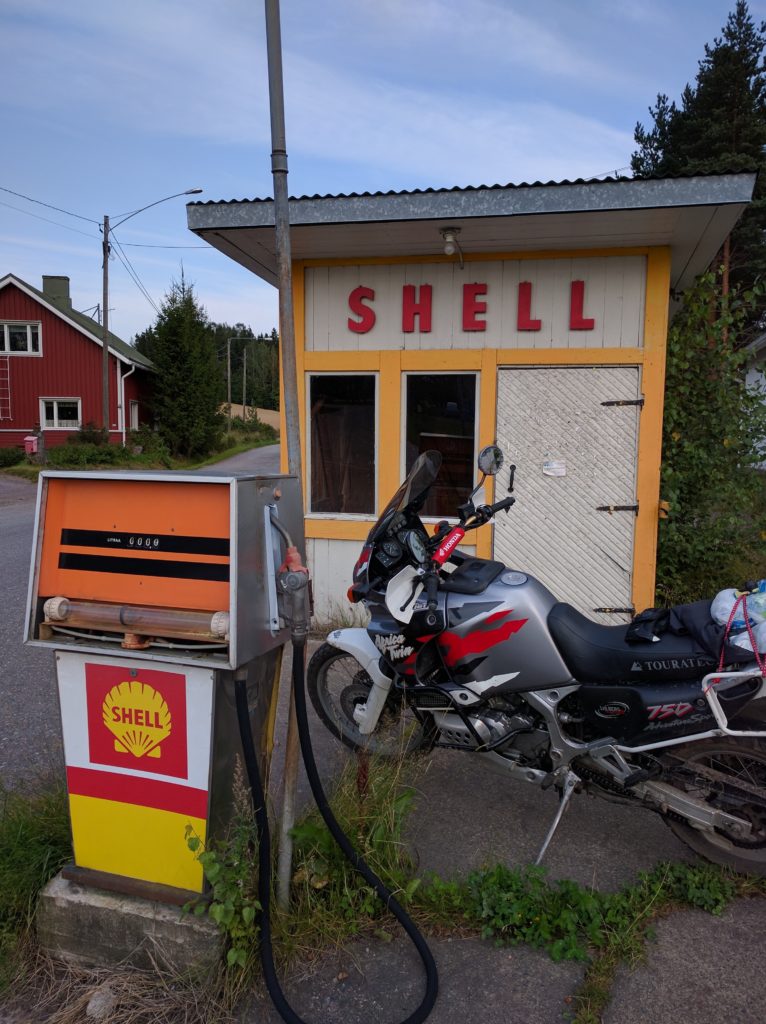
Back on asphalt, I took Boxintie and Brobölentie north to Sipoo. Sipoo is a small town with an old church worth seeing. I crossed Sipoo through Iso Kylätie and Humalistontie, and took Paippistentie north until the former Moottorikahvila.

It seems the Moottorikahvila was a bikers cafe, but unfortunatelly it’s closed. Next to it there is an old gas station where I took this picture.

Gas station in Paippinen
Gas station in Paippinen (Sipoo)

I left the asphalt taking Snickarbackantie east and Impaksentie north to cross Impaändan.

Snickarbackantie (Sipoo)

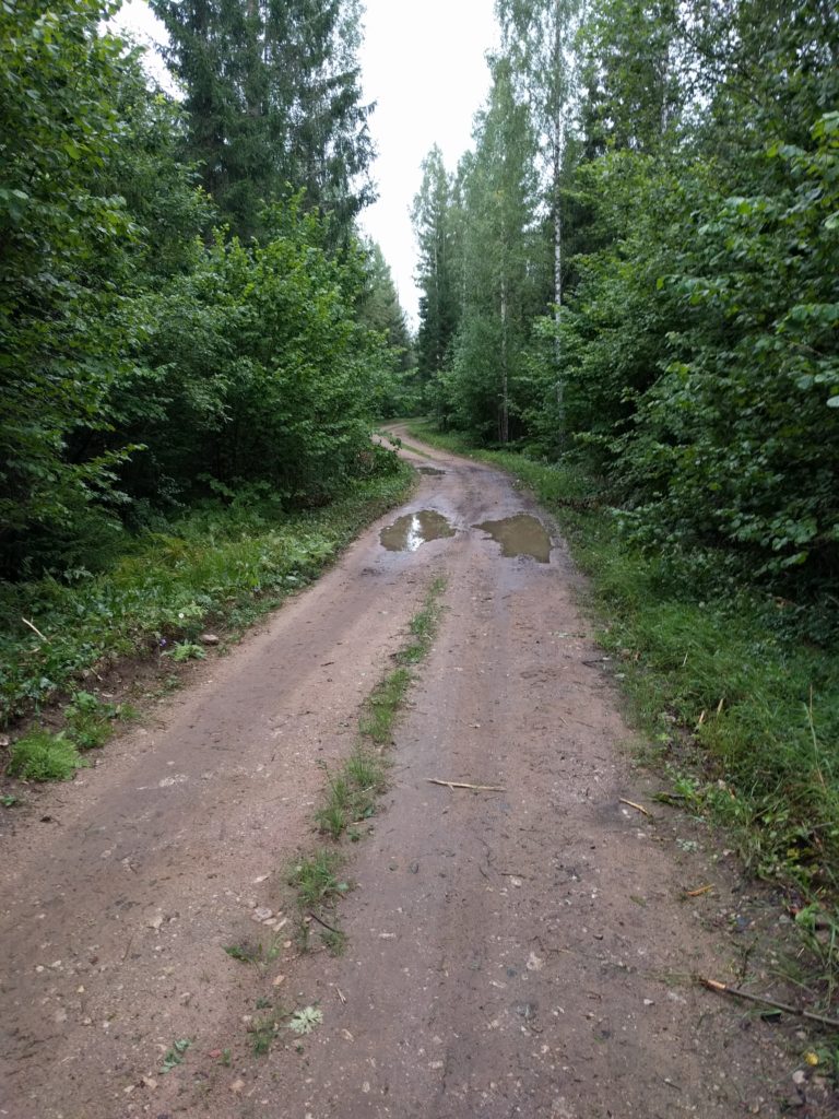
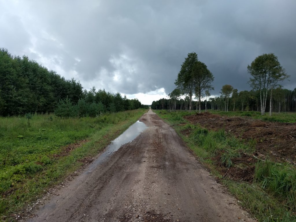
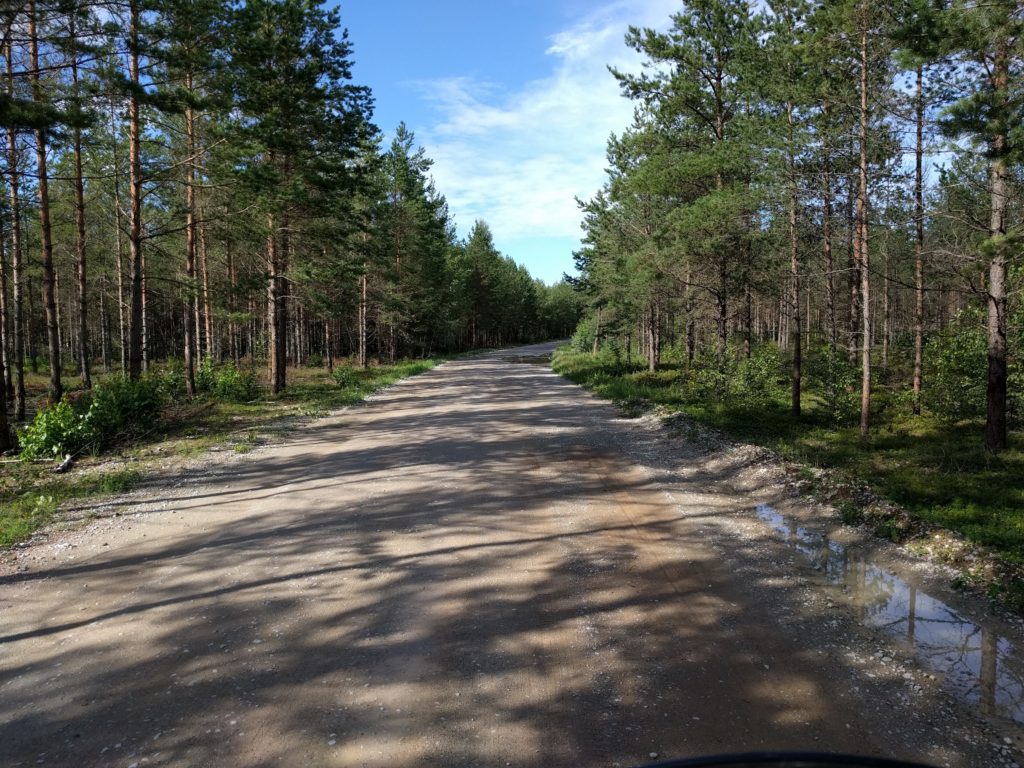
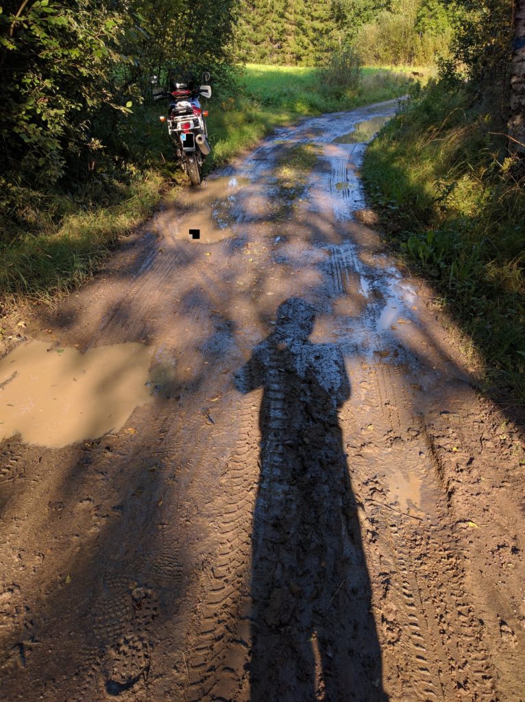
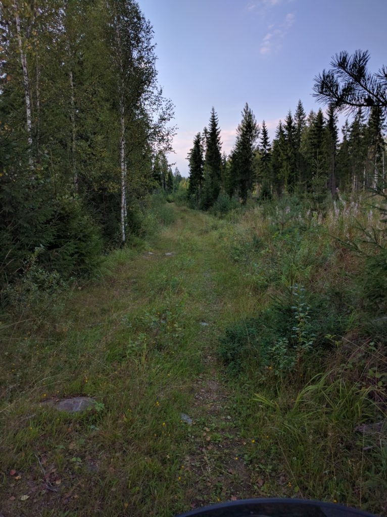
I missed the north-west turn near Fransas and I countinued north-east. This put me in a forest track that got worse and worse, first with mud and ponds, then tall grass, rocks and deep holes. I realized my mistake but in such situations I have a voice in my head challenging me to go further. I felt two more times and, since I have another voice reminding me that if I get stuck the rescue truck isn’t going to tow me out of there, I decided to turn around. Such maneuver is always difficult in my big heavy motorbike.

But, before leaving, I took a picture of the worst part I reached. The grass hides how irregular the terrain is.

Forest track near Fransas (Sipoo)

I followed Koivuniityntie north-west and Brusaksentie south-west. I couldn’t find the beginning of Sivenojantie until a local came to me and we overcame the language barrier making gestures.

I took Sivenojantie and Jungfrustenintie north, finding more loose gravel than usual in similar roads.

Jungfrustenintie (Sipoo)

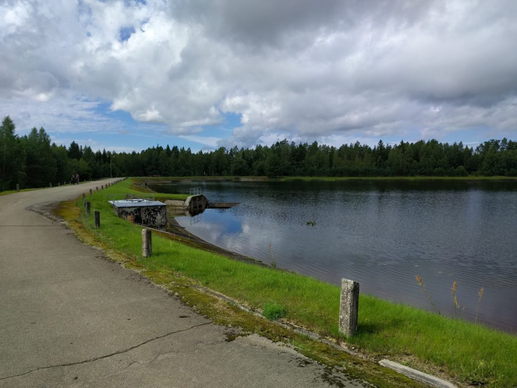
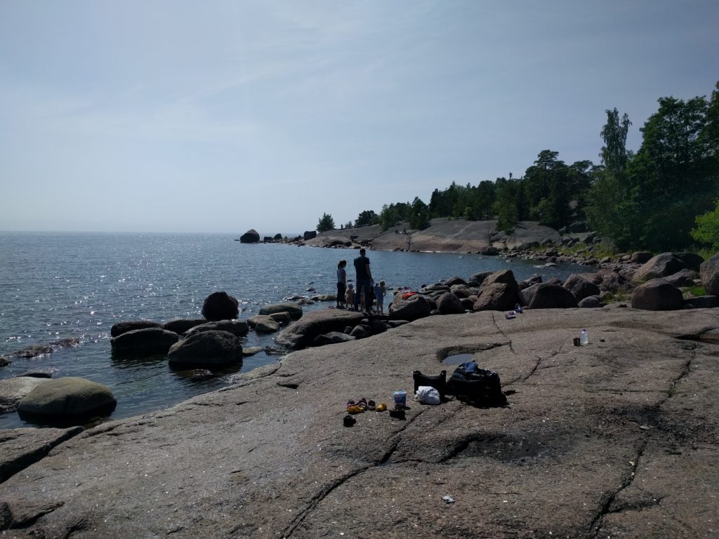
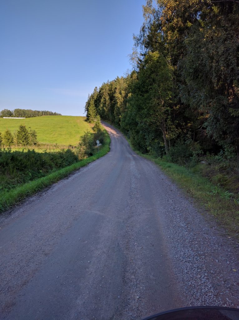
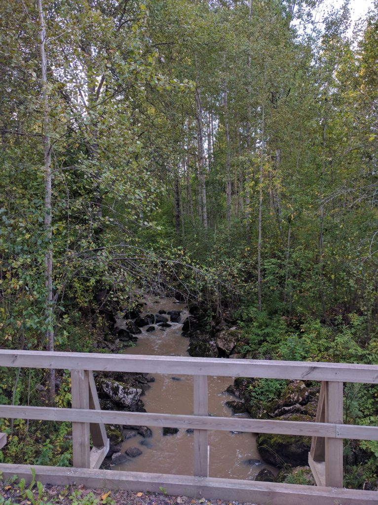
On asphalt again, I took road 146/Järvenpääntie east and Brusaksentie south to get back to business in Hommanäsintie. It’s worth to make a stop on the bridge over the river.

Bridge in Hommanäs (Sipoo)

It’s precisely in Sivenojantie, Jungfrustenintie and Hommanäsintie where I usually find horses, so be careful and avoid scaring them.

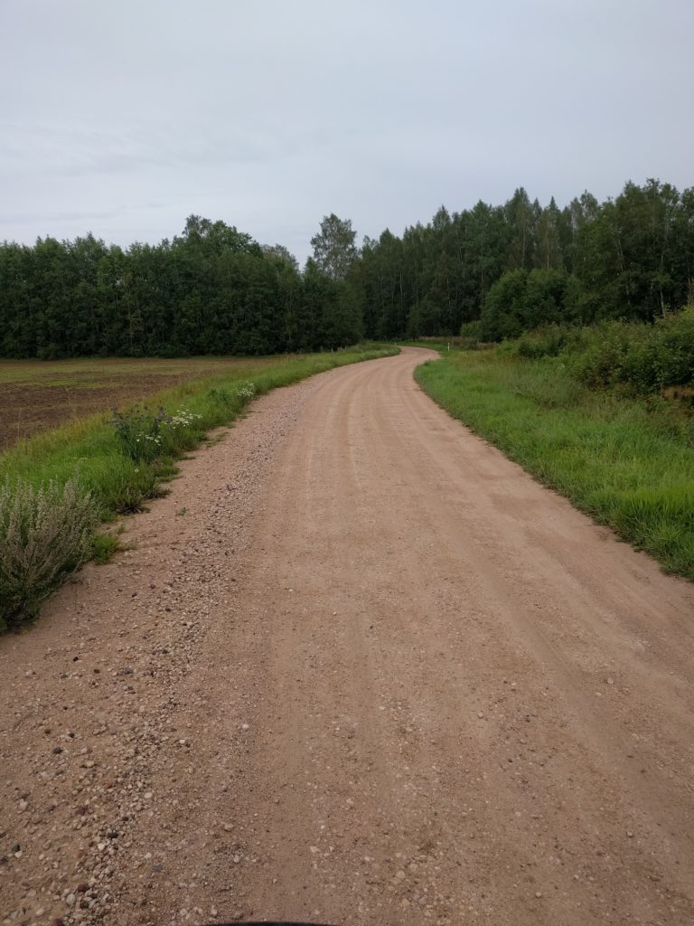
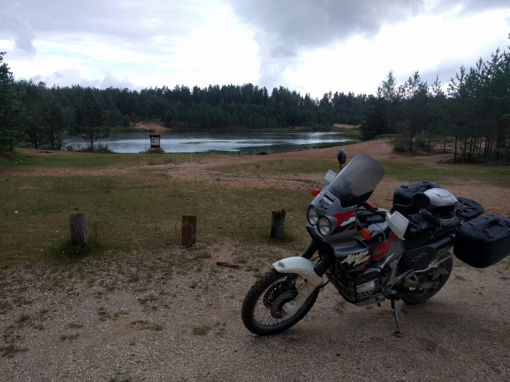
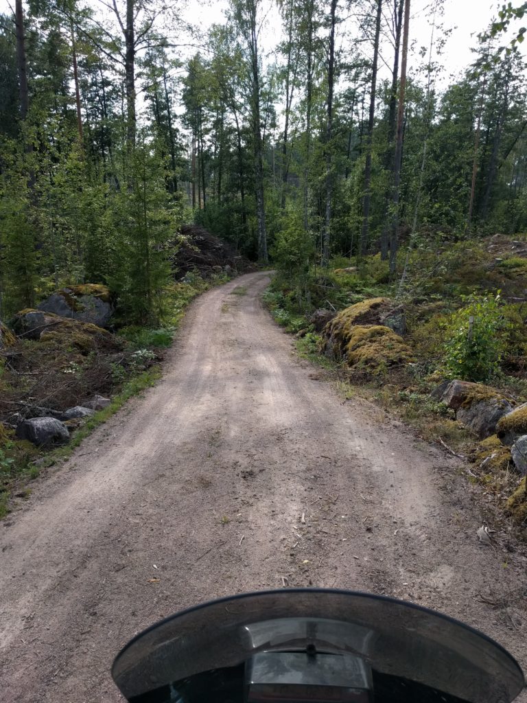
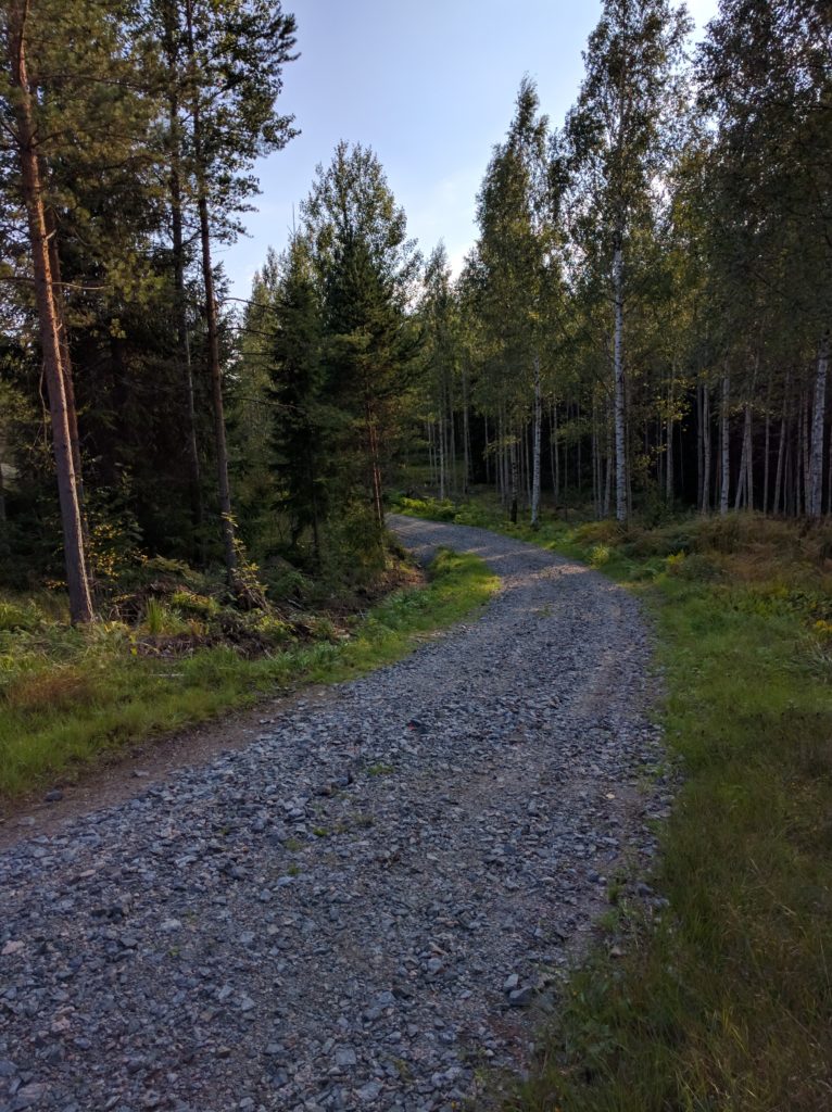
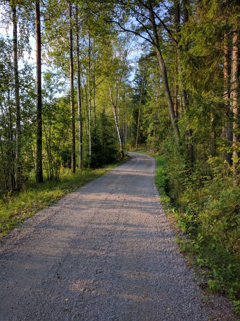
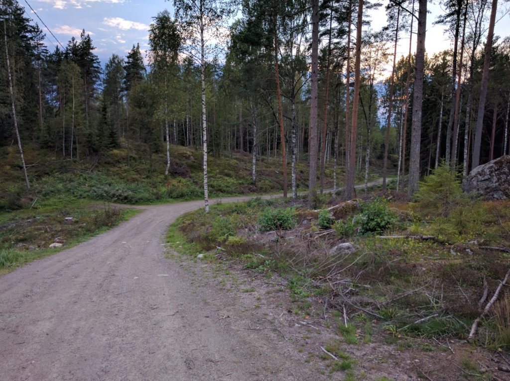
My return started taking Paippistentie south, crossing Sipoo again, and Brobölentie south. But instead of continuing straight to the E18, I took Hindsbyntie south and Martiksentie west to Mosabacka. It paid off because most of Martiksentie is a dirt road and part of it a nice forest track crossing Sipoonkorpi National Park. I took my last picture there.

Martiksentie in Sipoonkorpi National Park (Sipoo)

Finally I took Vanha Porvoontie and the E75 motorway south to Helsinki.

So yes, the best off-road area around Helsinki. I try to avoid annoying locals by not repeating the same area in a short period of time, otherwise I would go there again. I think I should explore further north-east, it looks similar in Google Maps.


Weekend in Vetepere (Estonia)

I spent a fantastic weekend in Vetepere with some friends, and of course I did the trip on the worst tracks I could find. To give you an idea, I’ll first share a picture of the dirty bike after the trip.

Vacaburra after a trip to Vetepere (Estonia)

Compared to the south of Finland, in Estonia it was easier to find unpaved roads that were also longer and more challenging. There were less houses by such roads, I crossed few other vehicles and even less pedestrians or byciclists. I guess the later has something to do with the fact that it was raining all weekend.

The trip started crossing taking the Eckero Line ferry to cross the sea between Helsinki and Tallinn. I had an entertaining ferry trip talking to a fellow biker that transformed a Honda Gold Wing into a cafe racer. There was also a 1st generation Africa Twin in a state worth of taking a picture and sharing.

1st generation Africa Twin sailing to Tallinn

My plan was to stay east of road 2 (E263) going south-east and looking for dirt roads. My experience with the main roads of the baltic countries is that they have too much traffic for one lane per direction and overtaking is not for foreigners. I didn’t have a detailed plan and I was using My Tracks to record my trip, but it proved to be unreliable and it missed some parts. Fortunatelly, I remember the main things.

I first went east on roads 1 and 11 to Pildiküla. A totally worthless loop that I should have avoided on road 2. The second attempt went on roads 303, 201, 156, 202 and 310 to Pikavere. Nicer roads between fields and trees but smooth curves and still asphalt.

Finally, the first dirt road was the 124 from Pikavere south to road 12. Wide, in good shape and with smooth curves, it allowed driving at a good rythm. Back on asphalt I took road 12 east to Alavere, and then 137 to Voose. The 137 was slightly narrower and curlier than the 124, and it was the first road I considered worth of a picture.

Road 137 near Voose (Estonia)

But the best part was going south from Voose on forrest tracks and dirt roads. The tracks were curly, bumpy, full of puddles and went through beatiful forrests. I don’t know exactly the route I took because there was a network of tracks and My Tracks stopped recording, but I remember I took many turns and dead-ends. A couple of times I couldn’t continue and the conditions were so bad it was difficult to turn my heavy long motorbike around. I worried about getting stuck or dropping it. I was in off-road heaven and I left a lot to explore, I should go back there.

Track near Käpajärv lake (Estonia)

I saw signs indicating routes for byciclists but I only crossed a SUV, probably because it was raining. From Vahesaare lake to the south the track improved and somewhere it becomed road 177. It’s by the lake that I took this nice picture.

Vahesaare lake (Estonia)

At that point I realized I missed my destination, mostly because of Google giving me the wrong location. It was getting late and I had to make a big loop through roads 2 (E263), 156, 5, 141 and 142. Main roads and mostly asphalt, a route not worth of comments.

During the weekend I stayed at a house next to Simisalu watchtower. A nice place that would be great if it had separate showers for men and women.

For my return trip I decided to go straight north, and I actually found long straight roads that took me the coast pretty fast. I first went on roads 142, 131 and 141. Right before Soosalu I went off-road through Mõnuvere to Peedu.

Between Mõnuvere and Peedu (Estonia)

The fun of such straight roads with broad visibility and no traffic is that they allow to drive at a good pace. A little bit more of the 141 north and from Lehtmetsa I went on the same direction on a good dirt road.

I stopped at Mägede liivakarjäär, a small lake with a sand beach that must be great in a hot day.

Mägede liivakarjäär (Estonia)

I continued to Aegviidu and the track became nicer and more challenging.

Track between Mägede liivakarjäär and Aegviidu (Estonia)

From Aegviidu, north-west, west and north to Soodla veehoidla reservoir. The tracks were long and straight similar to the ones near Mõnuvere. There are almost no houses by such tracks, they seem to be used only by the wood industry or something related to the forrests.

The reservoir is a beatiful place for a walk. It is where I took the picture of the dirty bike at the begining of this article.

Soodla veehoidla reservoir, Estonia
Soodla veehoidla reservoir (Estonia)

My last off-road stage of the trip continued north through Härmakosu, west of Rehatse MKA until Kuusalu. Soon after I left road 13 I became suspicious of the “grey asphalt” I saw there and previously in other parts of my trip, so I decided to stop and have a close look.

Gravel road near Härmakosu (Estonia)

This was my first experience with gravel roads. In general, they offer a good grip and that’s why I confused it with asphalt. But don’t get confident, they also have patches of loose gravel which are impossible to spot. I almost learnt it the hard way.

Next to Rehatse MKA the road was good, straight and really wide. I crossed other vehicles as I was approaching more populated areas of the country.

Road west of Rehatse MKA (Estonia)

From Kuusalu I avoided road 1 by taking the 260 west, and then I decided to approach the coast going north-west through the 266 to almost Kaberneeme, and then the 263 and 260 south-west to Jõelähtme. Asphalt all the way, smooth curves, houses, traffic, and I hardly saw the sea. Not sure if the route is worth for road bikers, but not for me. At least I found a nice area to have a house by the beach.

The last stage I recorded took me through Rebala and Ülgase to Kallavere. Same as before, only more solitary. I was running out of time for the ferry so I filled the tank, jet-washed the bike, and headed to Tallinn‘s port. I arrived just in time.

Estonia is a paradise for off-road riders. There are many areas to explore, challenging roads to follow, and beatiful landscapes to enjoy without going too far from Tallinn. It left me wanting to go again, perhaps before this season ends. Few years ago I went to Saaremaa by car and I loved it, it would be worth to go again by bike.

Changing weather and dead-ends

This time I had a planned route. With the help of Google Maps satellite view, I spent some time searching and connecting gravel roads at the west of Helsinki. The excitement woke me up early and, with a good weather and forecast, I got on my bike.

I first took the 110 to Nupuri. I don’t know why I keep taking that road, it’s a succession of traffic lights, crossings, and zebra crossings. Next time I will use the 1 and E18.

The next stage was Brobackantie, Nuuksiontie, Kattilantie to Kattila. But it started raining and it got so bad that I had to take cover in a bus stop in Nuuksio.

Storm in Nuuksiontie (Espoo)

Without stopping, the rain eventually became thin. I was already soaked and cold in my summer gear, so I seriously considered going back home. But I made it that far so I decided to check the trails in Nuuksio National Park.

My next stage of the plan was to go west from Kattila to Kurjolampi. The road looked great and apparently a Google Street View vehicle did it. However, those trails are not open to traffic. Being a National Park, I imagined they are serious about it so I turned around. The only way out was back to the 110.

The road between Nupuri and Kattila has some curves but since the Park is a popular place there is traffic including buses. Only the end near Kattila has no ashpalt. I don’t recommend it unless you are actually going to hike in the Park, which I did once and I discovered a beautiful forest with easy trails and amazing landscapes.

Frustrated and with no sign of the weather improving, I went back to Helsinki through the 110 again, this time to avoid going fast on a wet motorway. As per Murphy’s law, when I reached Helsinki the sky opened and the sun shined. I decided to give the day a last chance checking Laajasalo and Santahamina. In the former you can only drive in the suburbs, and I had no idea the later is a military base. I had my documents checked for a while, just for approaching the gate.

So, the only positive outcome of the day is that I learned a few places where not to go and I fixed my plan, which I hope I can follow some other time. Also, it was a good test for my new Sidi Adventure Gore-Tex boots. I will tell you about my gear in some post.

But next, I will be riding in Estonia.

Porvoo

I did a day trip to Porvoo and its southern islands with my friend Jaytee. He drives a 2012 Kawasaki Versys with road tires, so most of the trip was on asphalt. I have a 1996 Honda Africa Twin, but I will tell you about “her” in another post.

The route went mostly between forests and some fields, with occasional sightings of the sea, swamps and rocks. Nice scenario but it eventually became repetitive.

From Helsinki we headed east through the 170, a busy main road with few curves. Things got interesting when we took the 1541, 1543 and Emäsalontie south to Varlaxudden. The view on the bridge to Emäsalo is really nice. Emäsalontie is good biker road with continuous curves and slopes. Just be careful with the cyclists and pedestrians you will likely cross.

Emäsalontie near Varlaxudden

Varlaxudden is a great place to take a bath, sunbathe on the rocks and grill some food. If only we were prepared…

Varlaxudden
Varlaxudden

We took the 1543 back north and to Porvoo. A really worth-visiting city with a river, many wooden houses and an old cathedral. It was a hot day and I was boiling in my motorbike pants and boots, but we found some relief eating by river in Wilhelm Å. It was full and took one hour to get served (we were warned), but the food was good.

Porvoo
Porvoo

After lunch we took the 1552 south, but we missed a turn and ended in Virvik Golf course. This gave me the opportunity to go off-road through Rånäsintie to Rånäs, and then the northwest track back to the 1552 where I met Jaytee again. That was one of the best off-road paths that I have found in Finland, if only it were longer…

Tracks around Rånäs
Tracks around Rånäs

We then followed the 1552 south to the end, which is also a worthy road with many curves and slopes, but not as good as Emäsalontie. It also goes through a more populated area, so you are more likely to encounter traffic, cyclists and pedestrians. Again, exercise caution.

Before reaching the end one must cross the sea between Sirmo and Sundön on a shuttle boat.

Shuttle between Tirmo and Sundön

The shuttle is free and crosses continuosly, but I’m not sure it’s worth the wait to do 7 more kilometers of the road. At least it gave me the chance to go off-road again through Eidiksentie, which was almost as good as the tracks around Rånäs.

We then decided we had enough and went back home north through the 1552 and west through the 170.

Welcome to my blog

I’m a fourty-something spanish software developer living in Helsinki. This blog is about one of my biggest passions, motorcycling.

Yeah, I know, the world doesn’t need another blog. But I do. I decided to start this blog when I was seriously thinking of taking a motorcycle trip to Iceland and the Faroe Islands in the summer of 2017. I need to plan that trip carefully and have all the details gathered in one place. Also, being my first long motorcycle trip, and since I have never been in those countries, I want to expose the details hoping to get some feedback and advice for the preparations.

I also thought it could be interesting to share the adventure from the early preparations to the return home, and maybe others in the future will find in useful.

Besides that, I want to write about my motorbike, my gear, and my short weekend trips.

Cilvrni Gorvm means metal workers in latin, and it’s how the Romans referred to the celtic tribe that lived in my hometown, after their craftmanship. It is the oldest known reference of inhabitants of the area of Gijon.

I hope you join and enjoy this journey I just started.